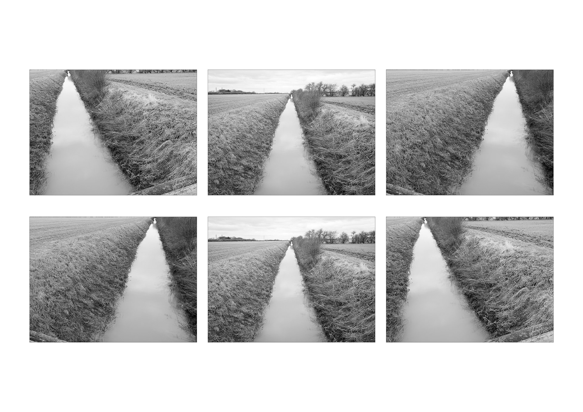
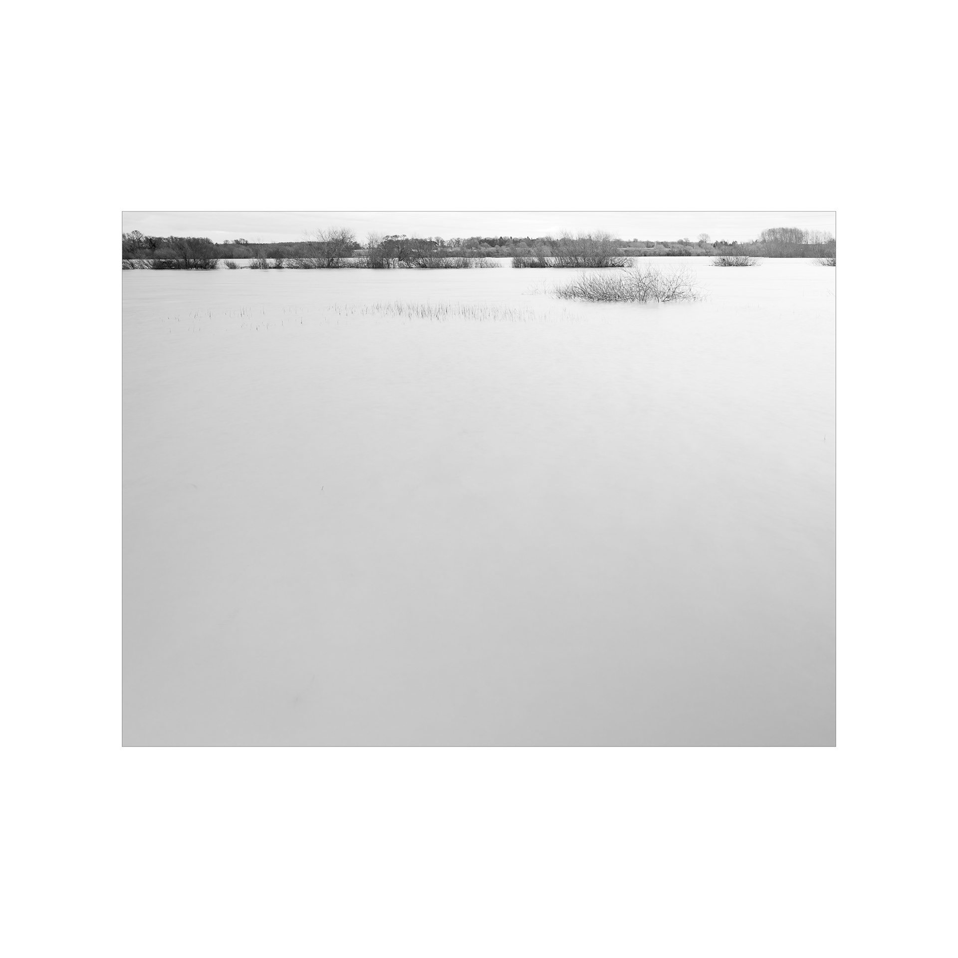
The River Trent: The images in this grid below form a selection of images taken on and around the hamlet of Coates just to the North of Cottam. These images were made during late 2023 when the river was in serious flood and many banks had burst, the water flooding the plains according to plan. There was a degree of flooding on this West side of the Trent and the drains and ditches had been full. The Trent had reached the flood bank and looked menacing.
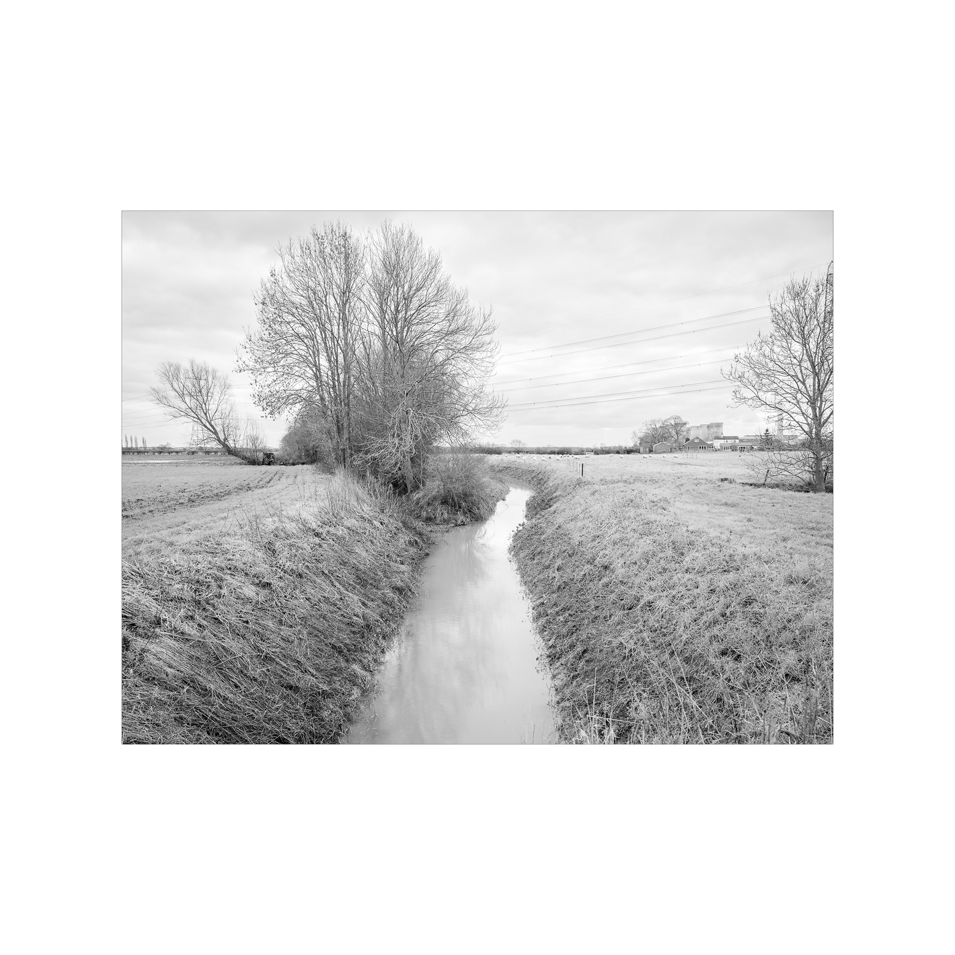
Seymour Drain.
The River Trent floodplain, Coates.
The Seymour Drain looking North.
River Trent Floodplain, Coates.
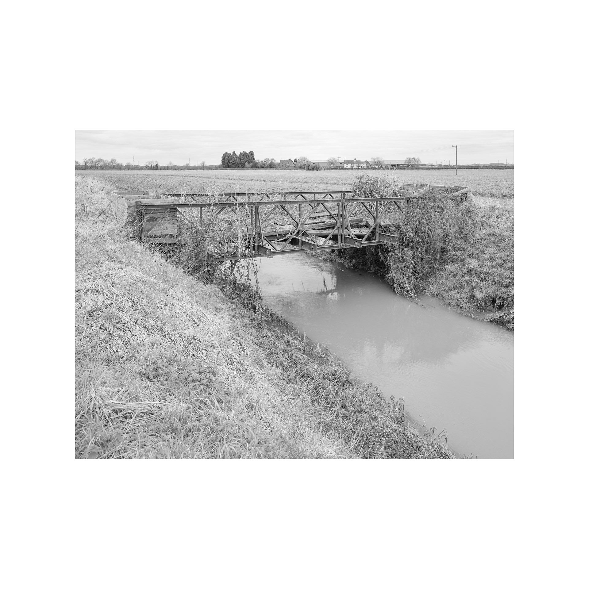
Troubled Bridge ( i )
River Trent Floodplain, Coates.
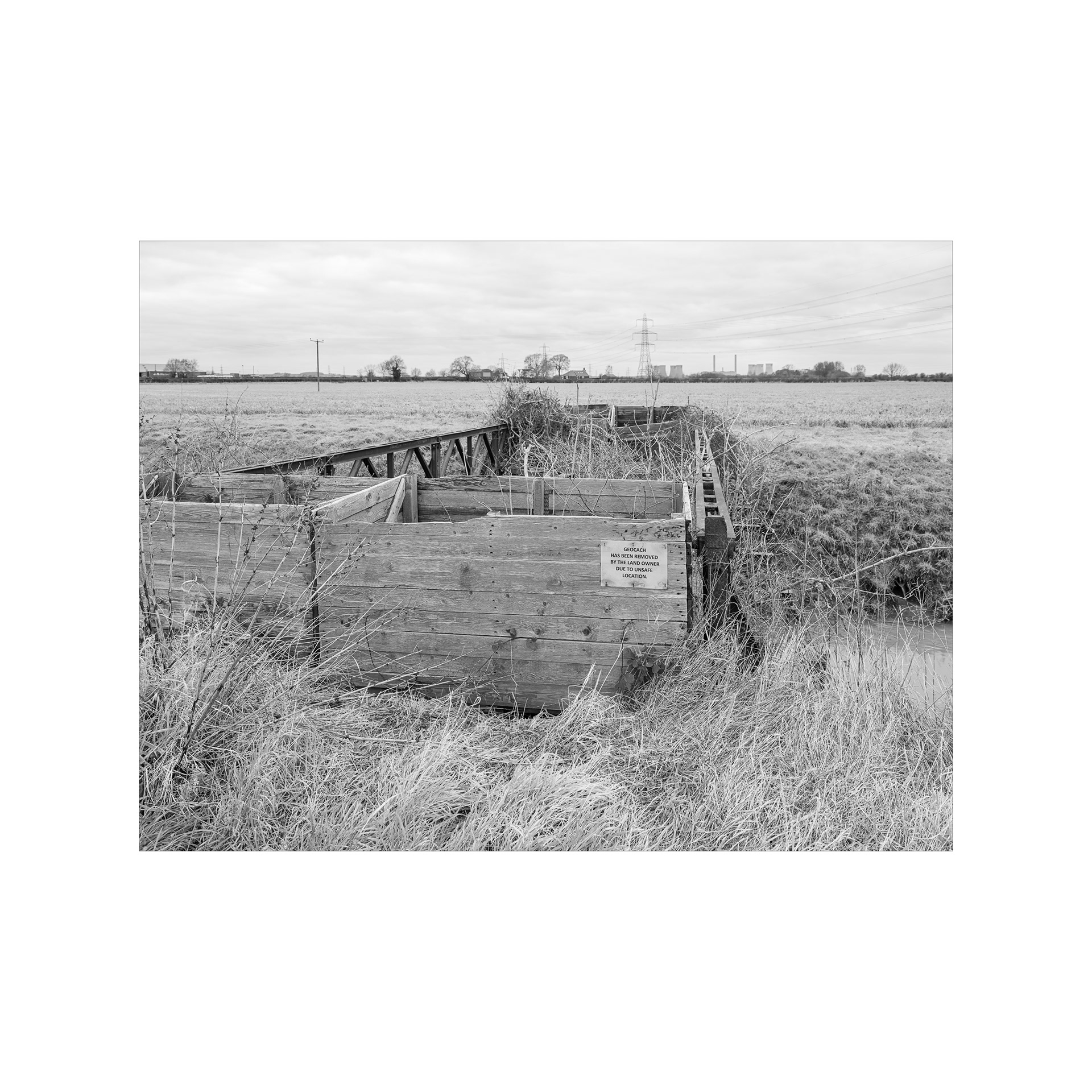
Troubled Bridge ( ii )
River Trent Floodplain, Coates.
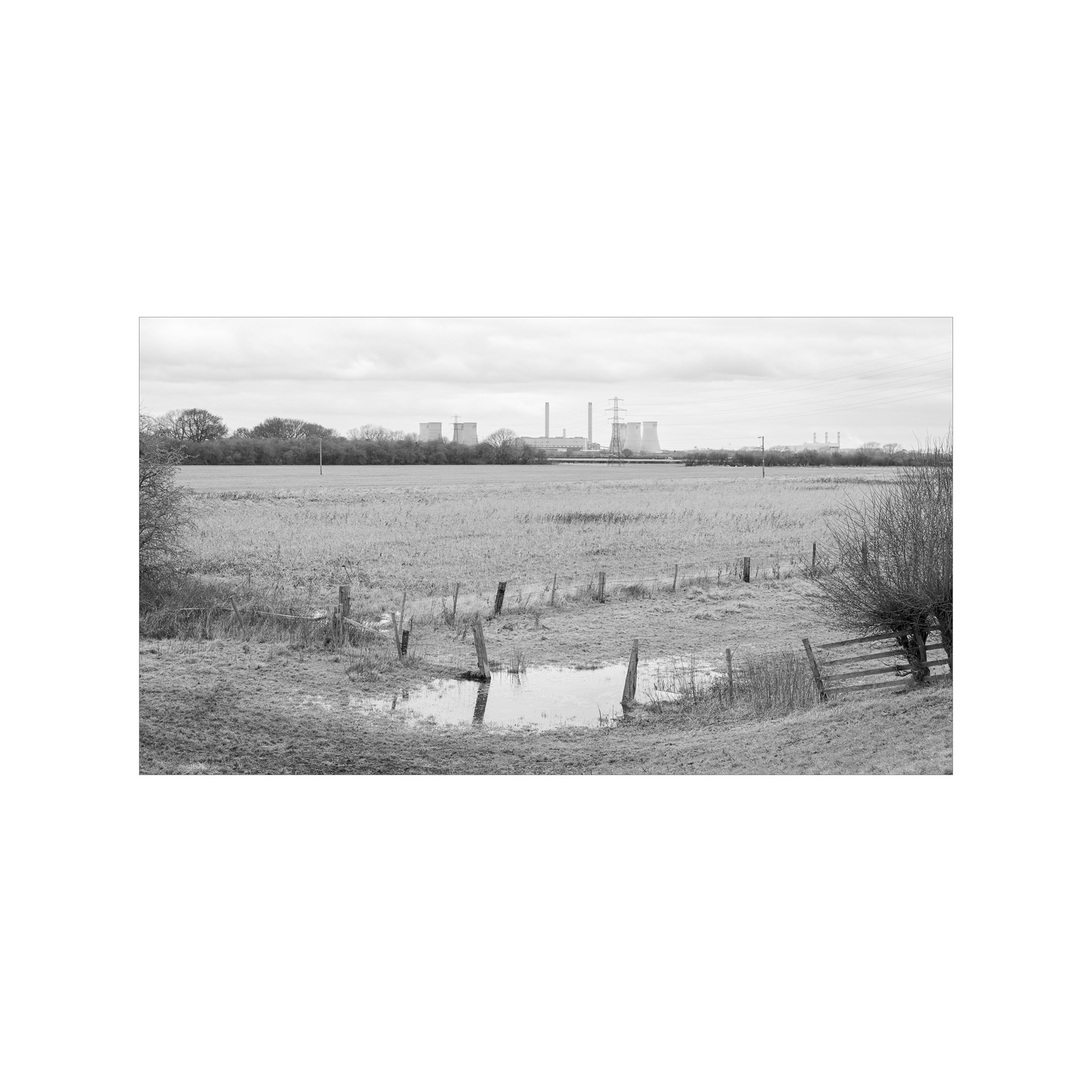
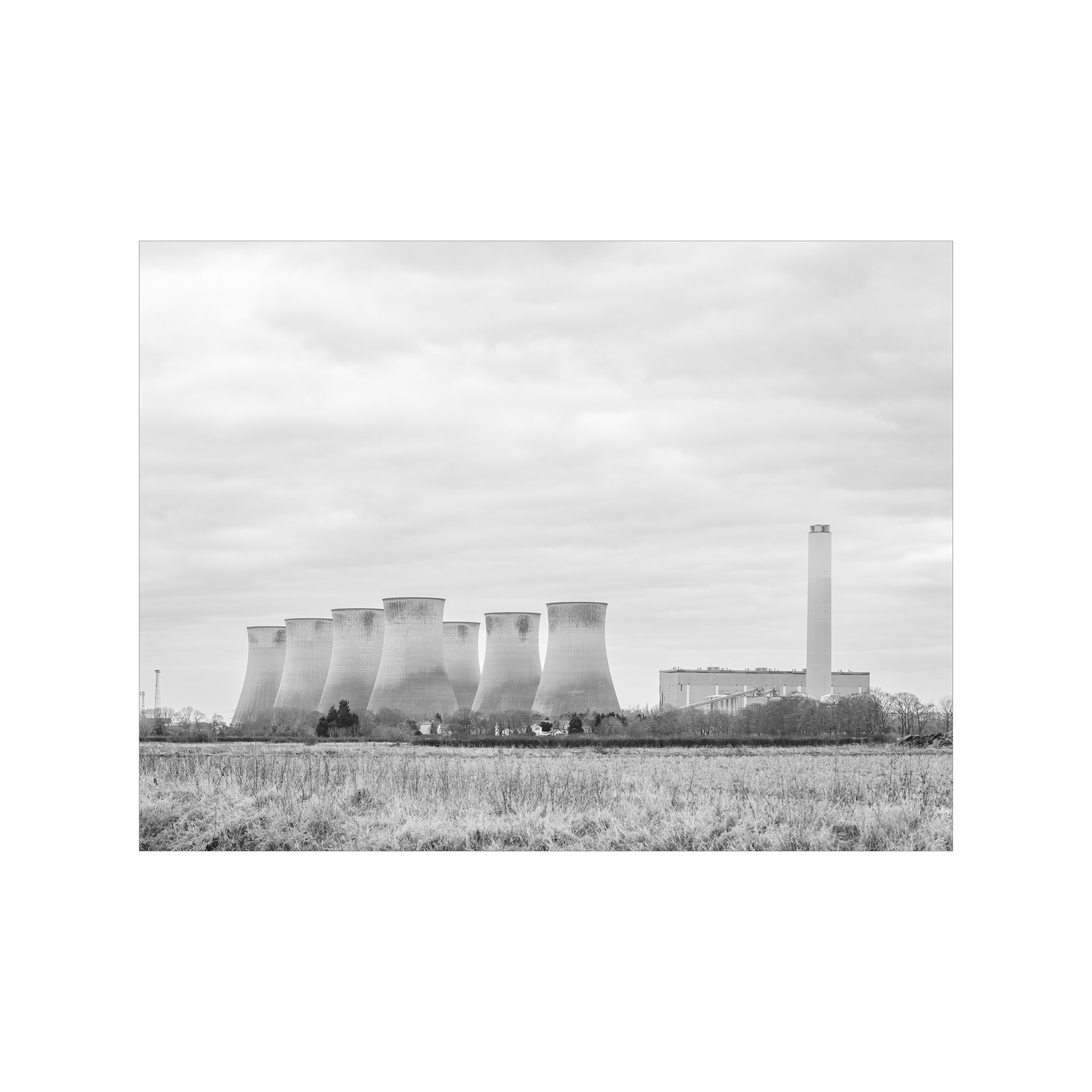
' West Burton Power Stations '
from the River Trent flood barrier, Coates.
The River Trent
Looking East from the hamlet of Coates.
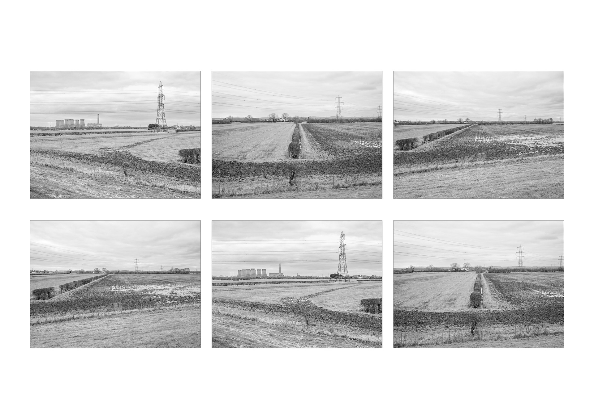
The River Trent
Towards Cottam and the hamlet of Coates.
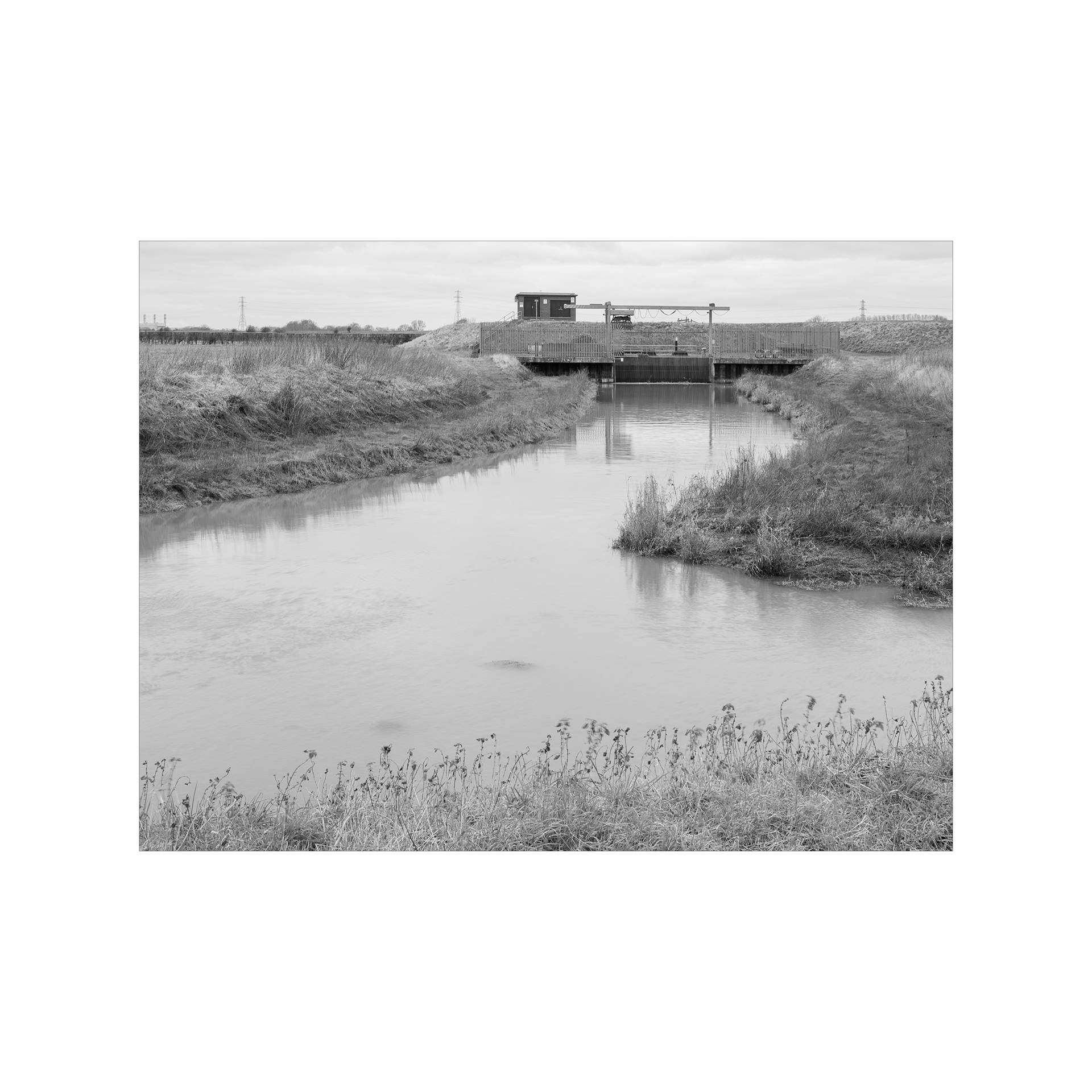
By the Pumping Station at Coates.
The River Trent Floodplain.
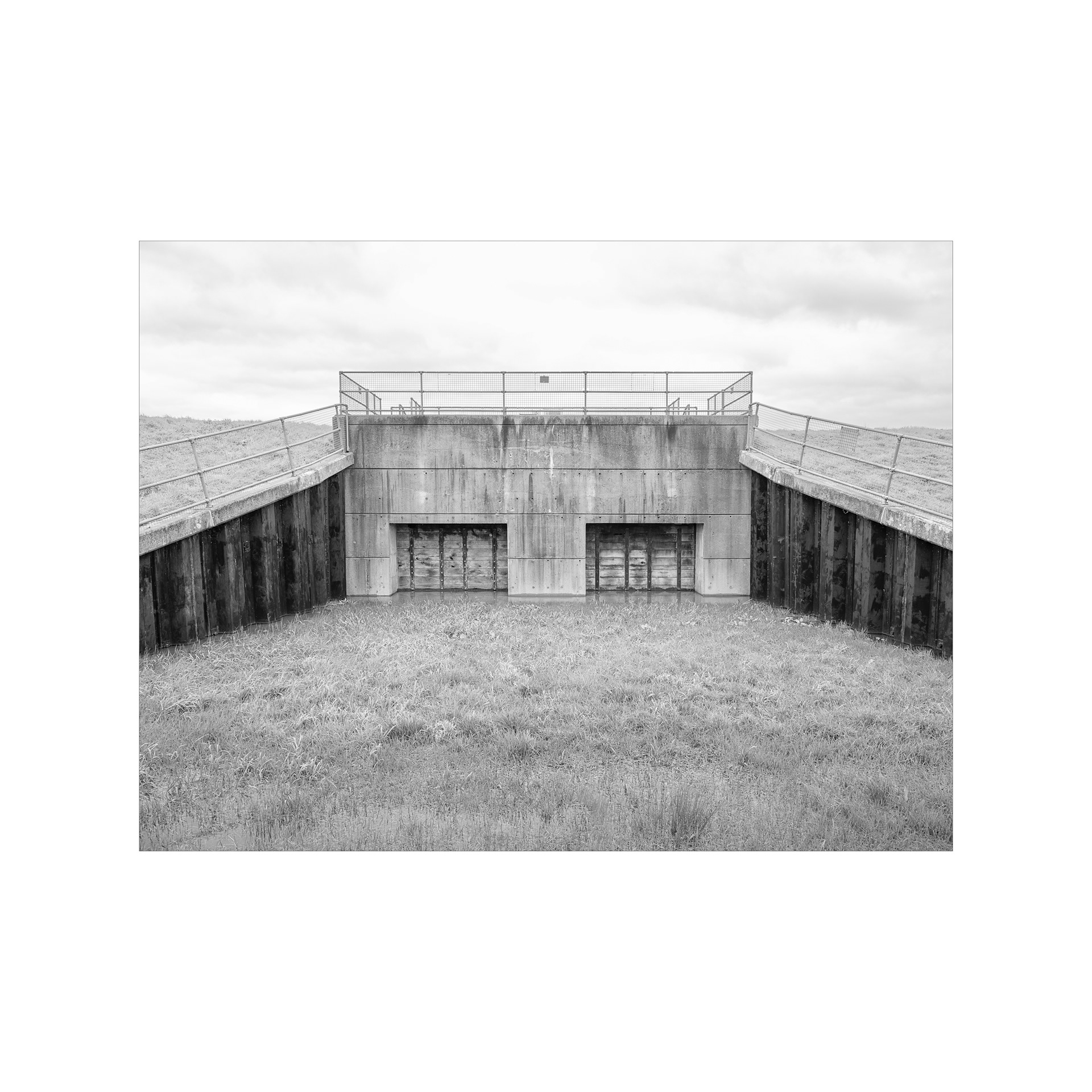
Gates. Holding back the Trent.
The River Trent Floodplain, Coates.
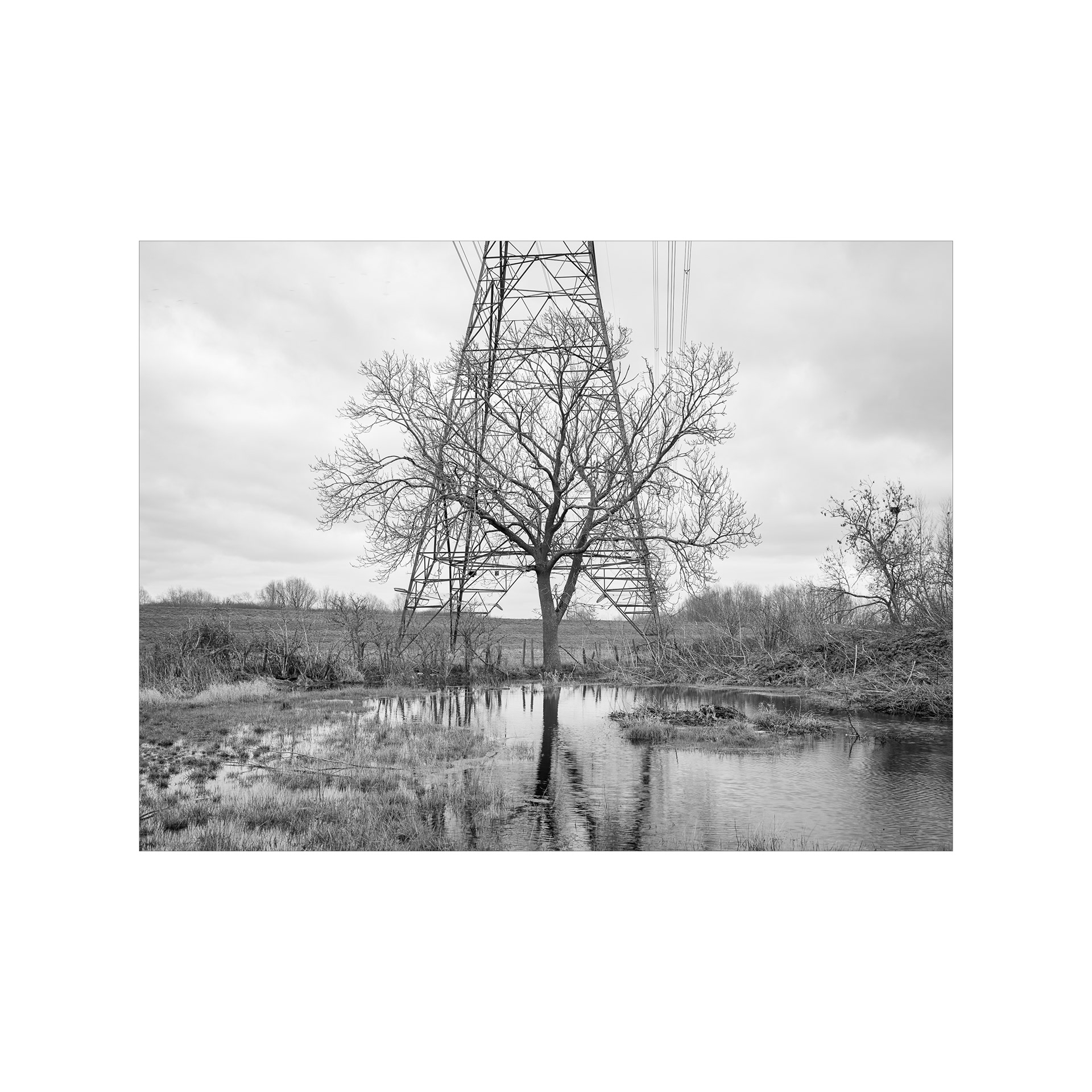
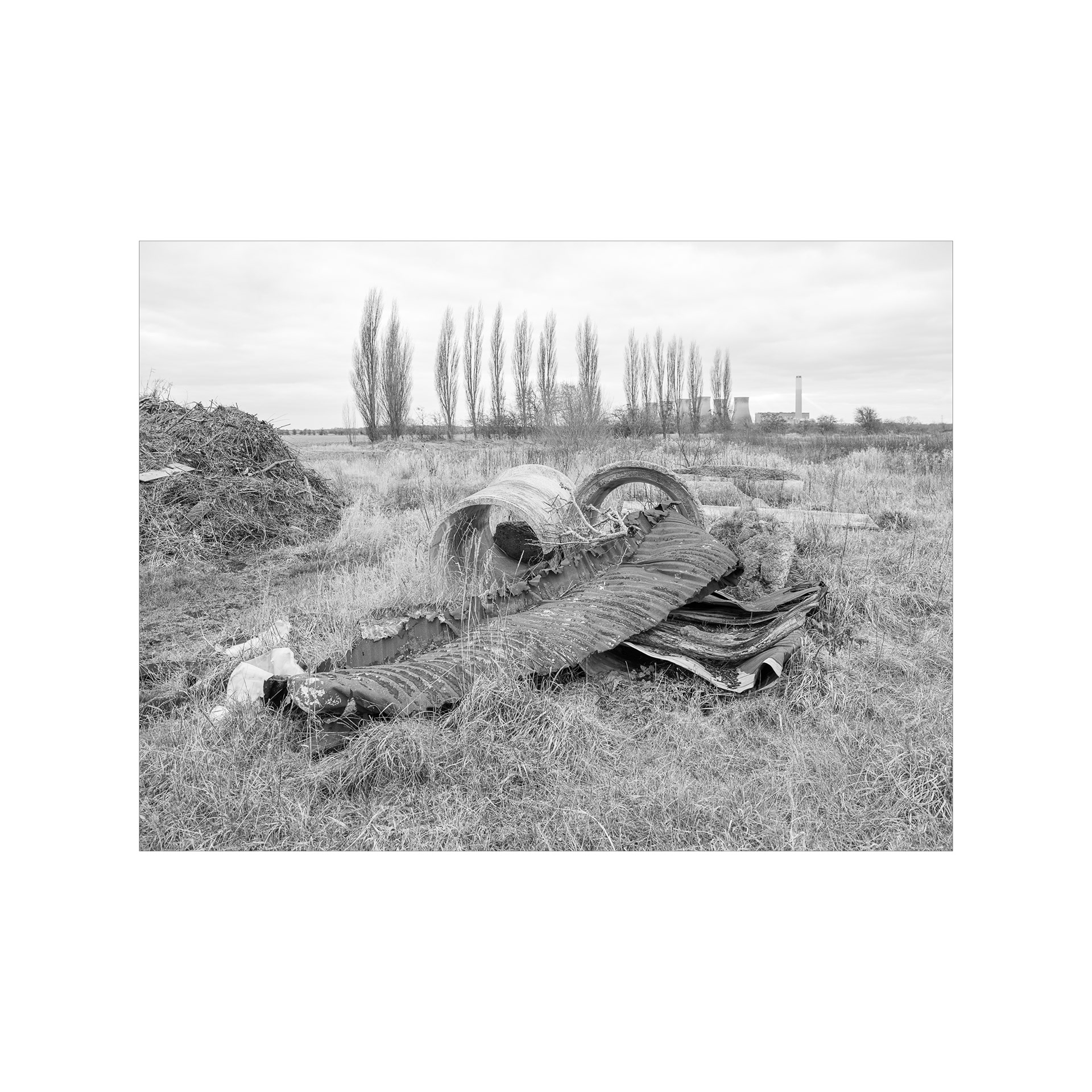
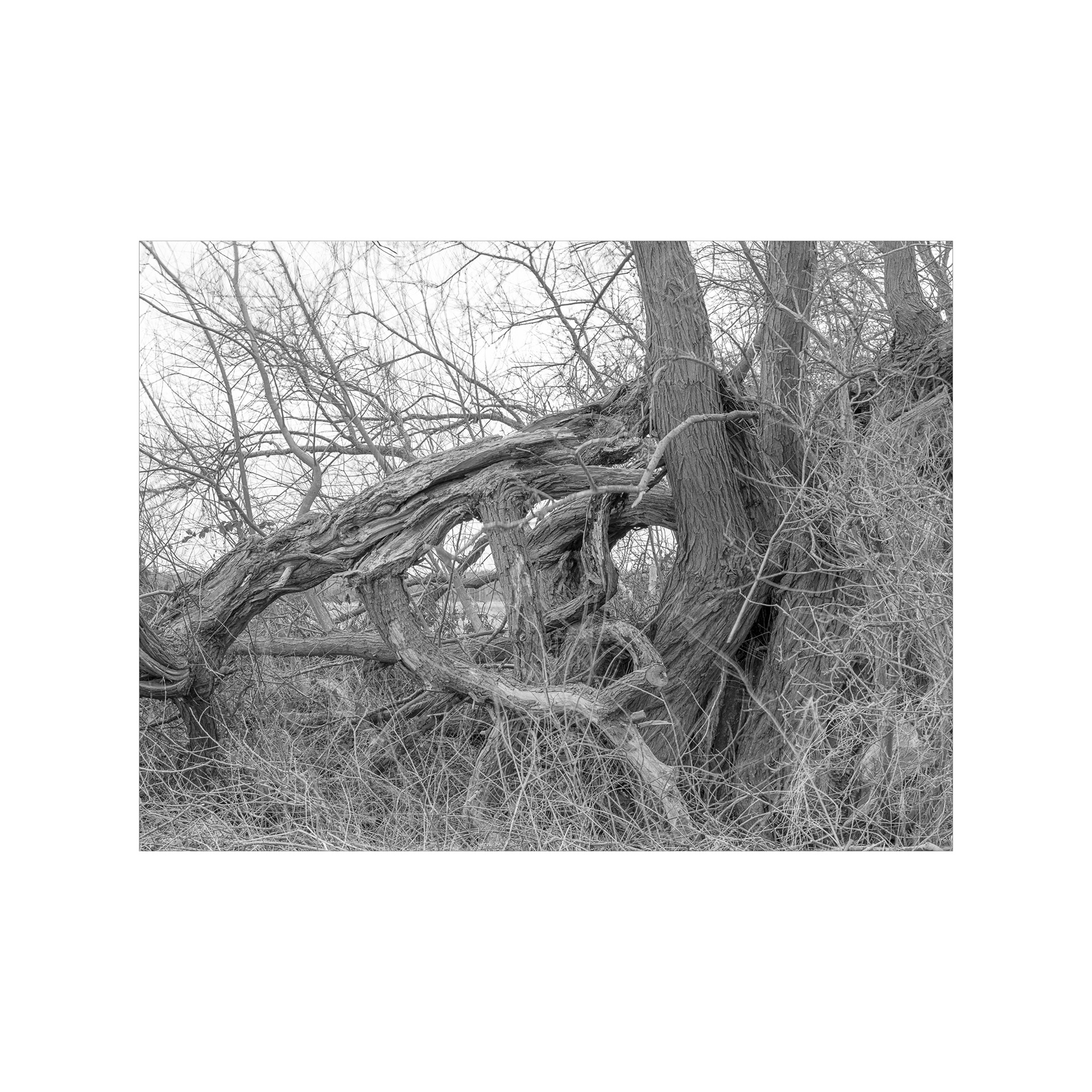
Ash Trees. Birds Nest.
The River Trent Floodplain, Coates.
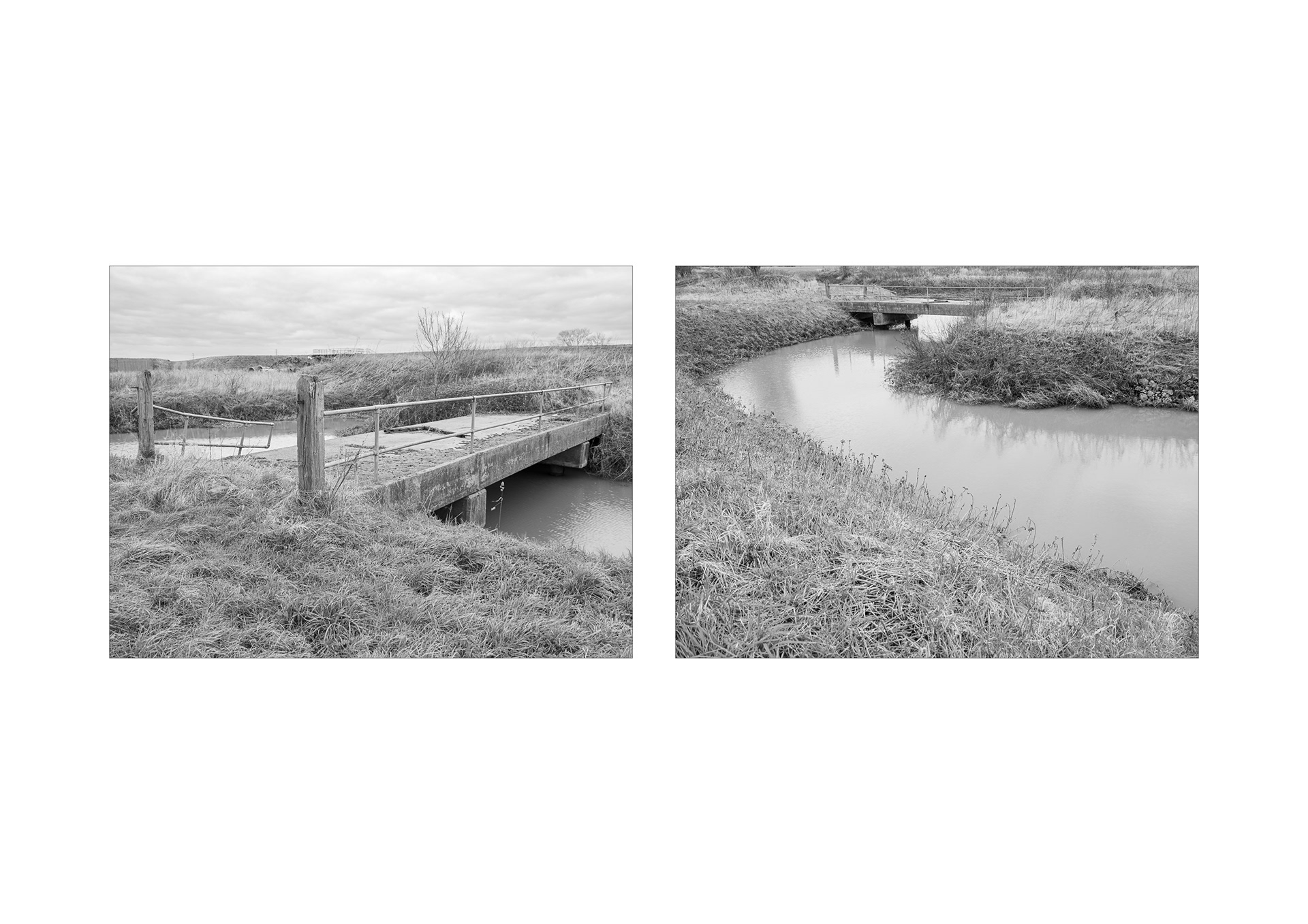
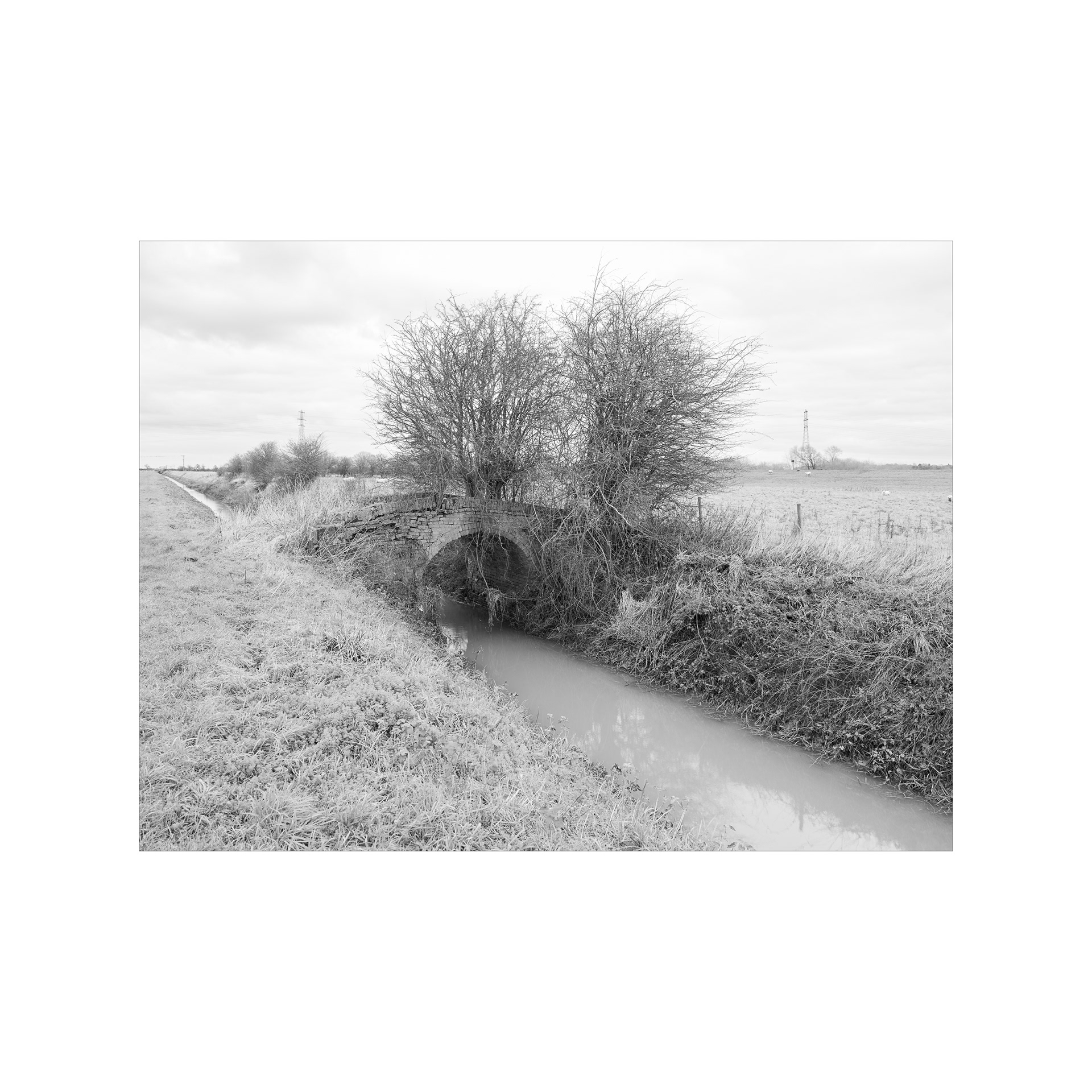
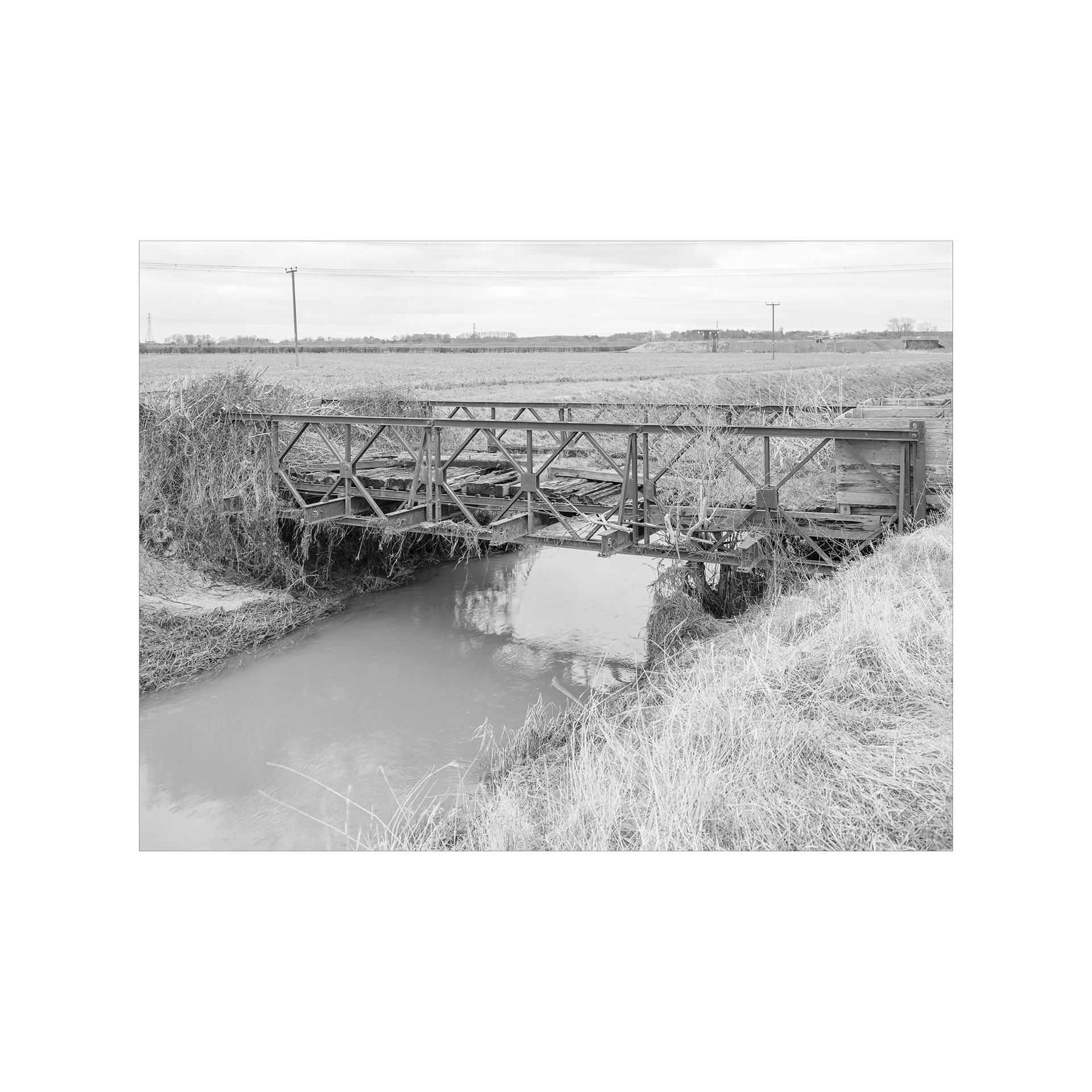
Drain / River balance system and bridge.
The River Trent Floodplain, Coates.
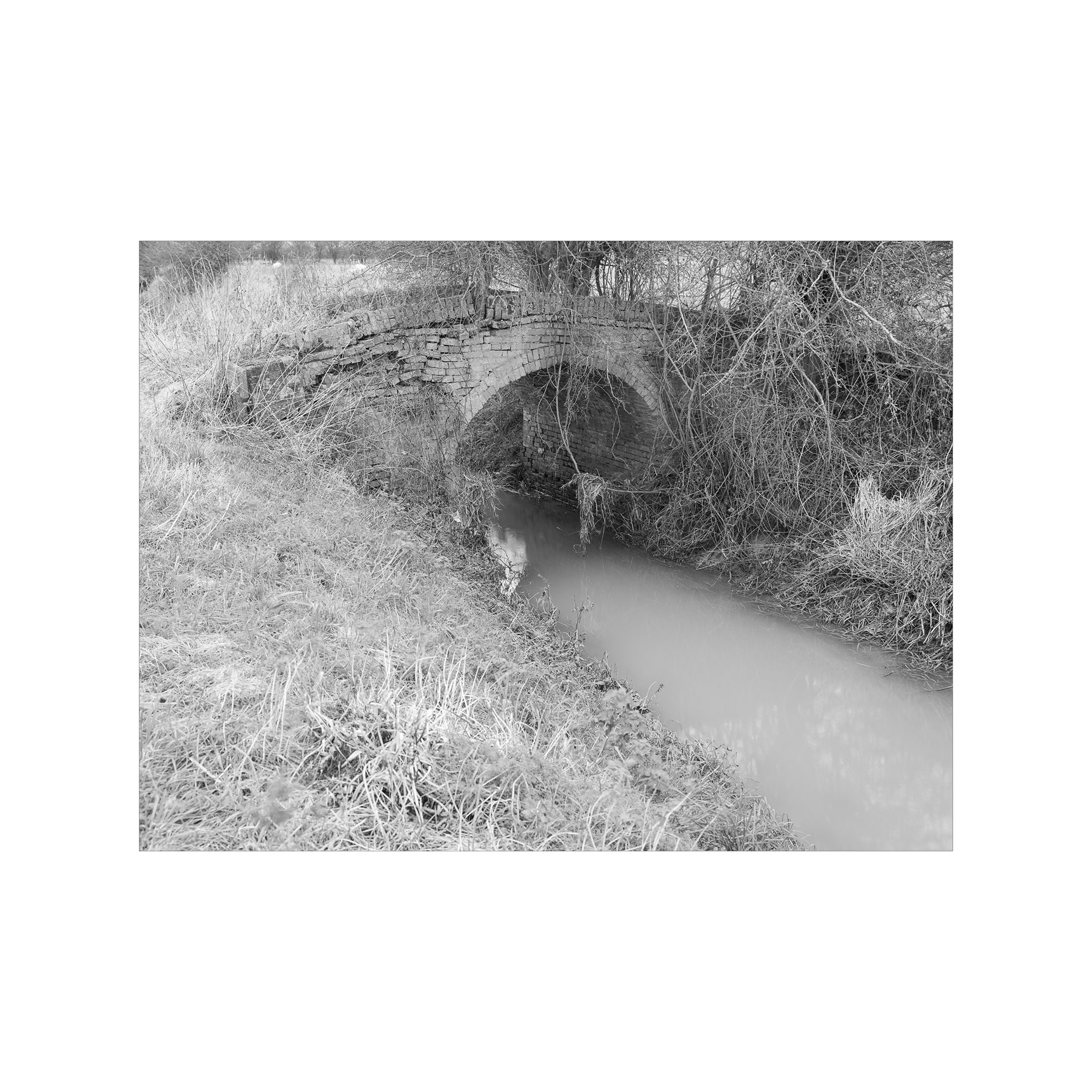
Drain / River balance system and bridge.
The River Trent Floodplain, Coates.
Like water under a troubled bridge, or so I thought . . .
The River Trent Floodplain, Coates.
To where then? . . .
The River Trent Floodplain, Coates.
The troubled bridge.
The River Trent Floodplain, Coates.
Towards the village of Cottam.
The River Trent Floodplain, Coates.
Cracked.
The River Trent Floodplain, Coates.
- Back -