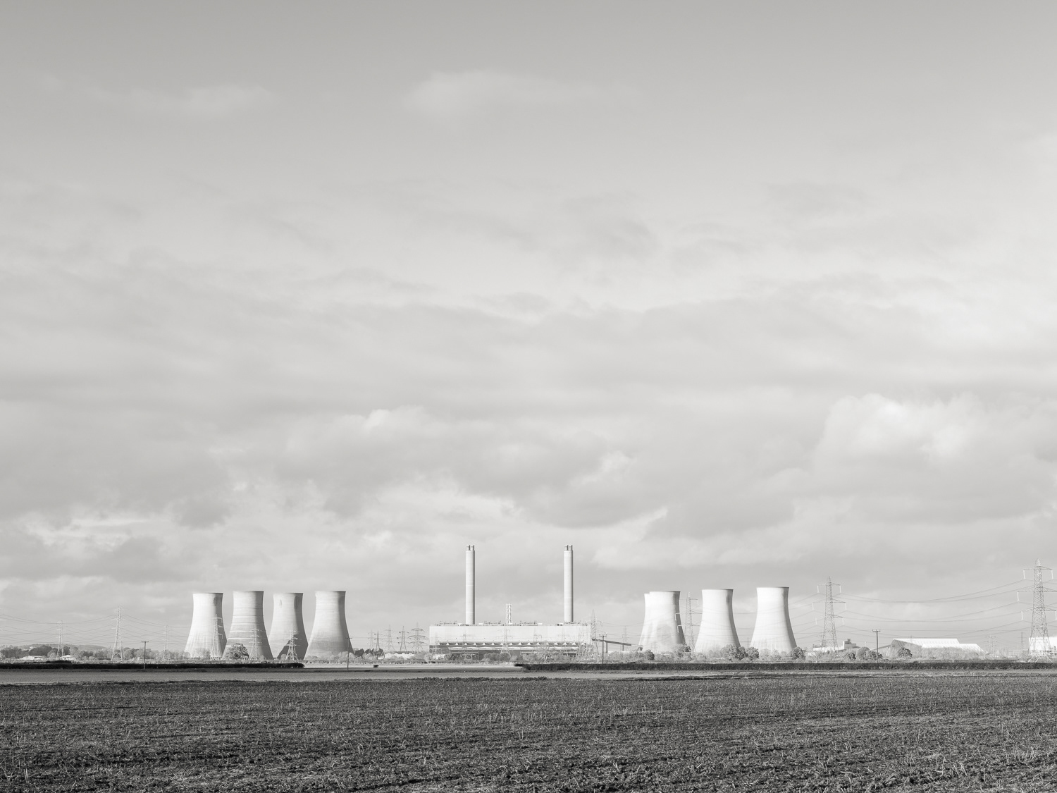
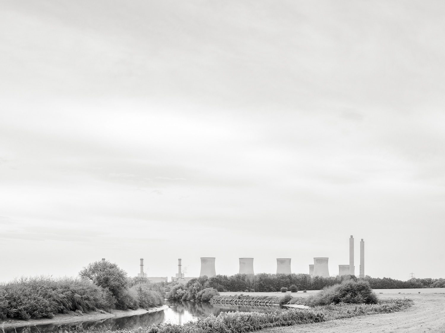
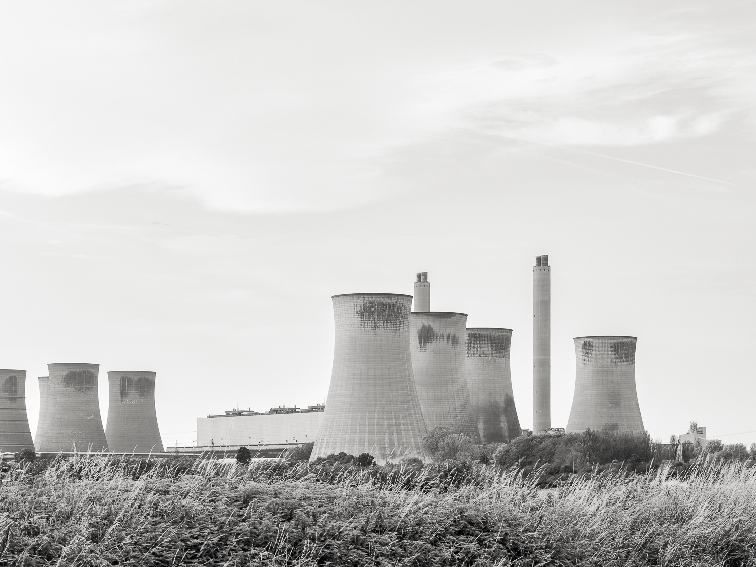
The River Trent: The images in this grid below form a selection taken from a point just south of the Gainsborough bridge down to West Burton in Nottinghamshire. West Burton A Power Station, coal fired, is now closed although the new one West Burton B, has almost the same capacity and runs on natural gas. West Burton A will be demolished but is the designated site for the development of fusion power generation. The burnt ash or soot from the coal fired boilers has been deposited and graded into the landscape at an area called 'Bole Ings' - an 'Ing' is an old word for 'marsh'. So the ash deposits are no more. The Ash trees are suffering from the virus and dying off. No more ash . . .
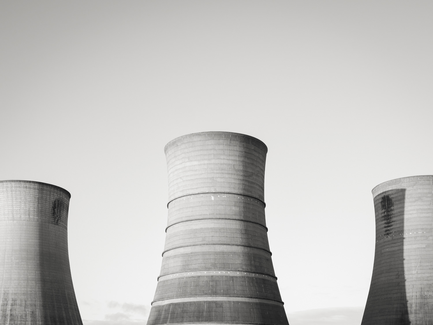
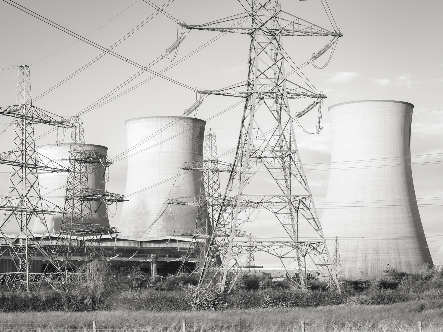
Cooling Towers (West)
Cooling Towers (West)
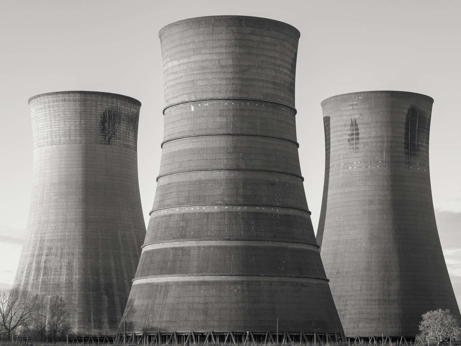
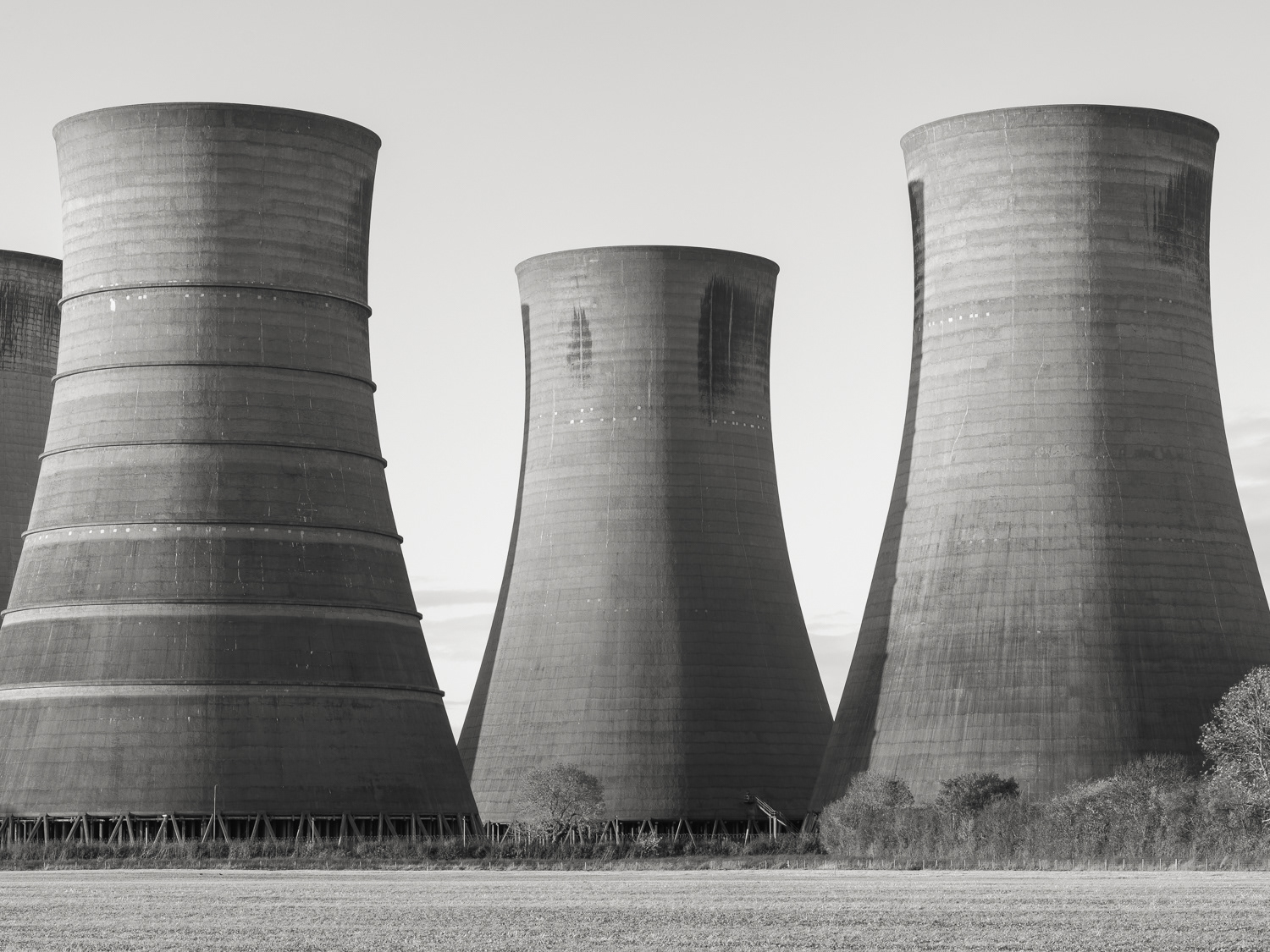
West Burton Power Station
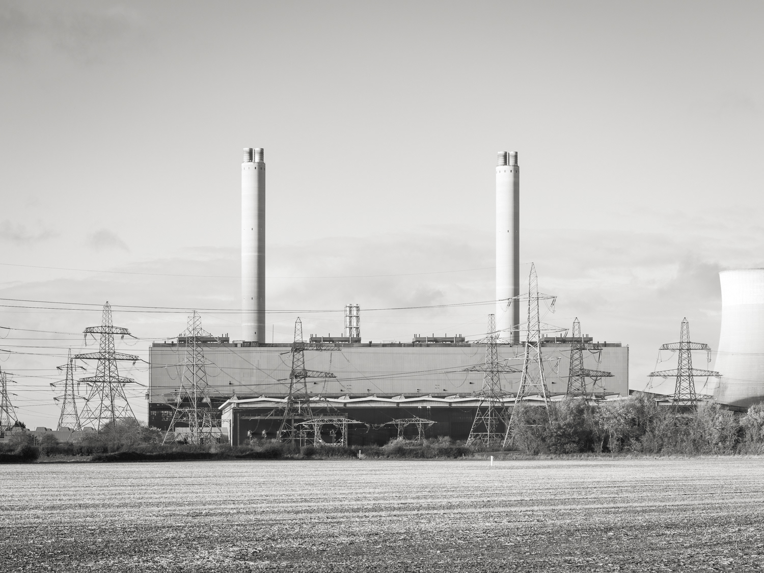
West Burton Power Station
West Burton Power Station
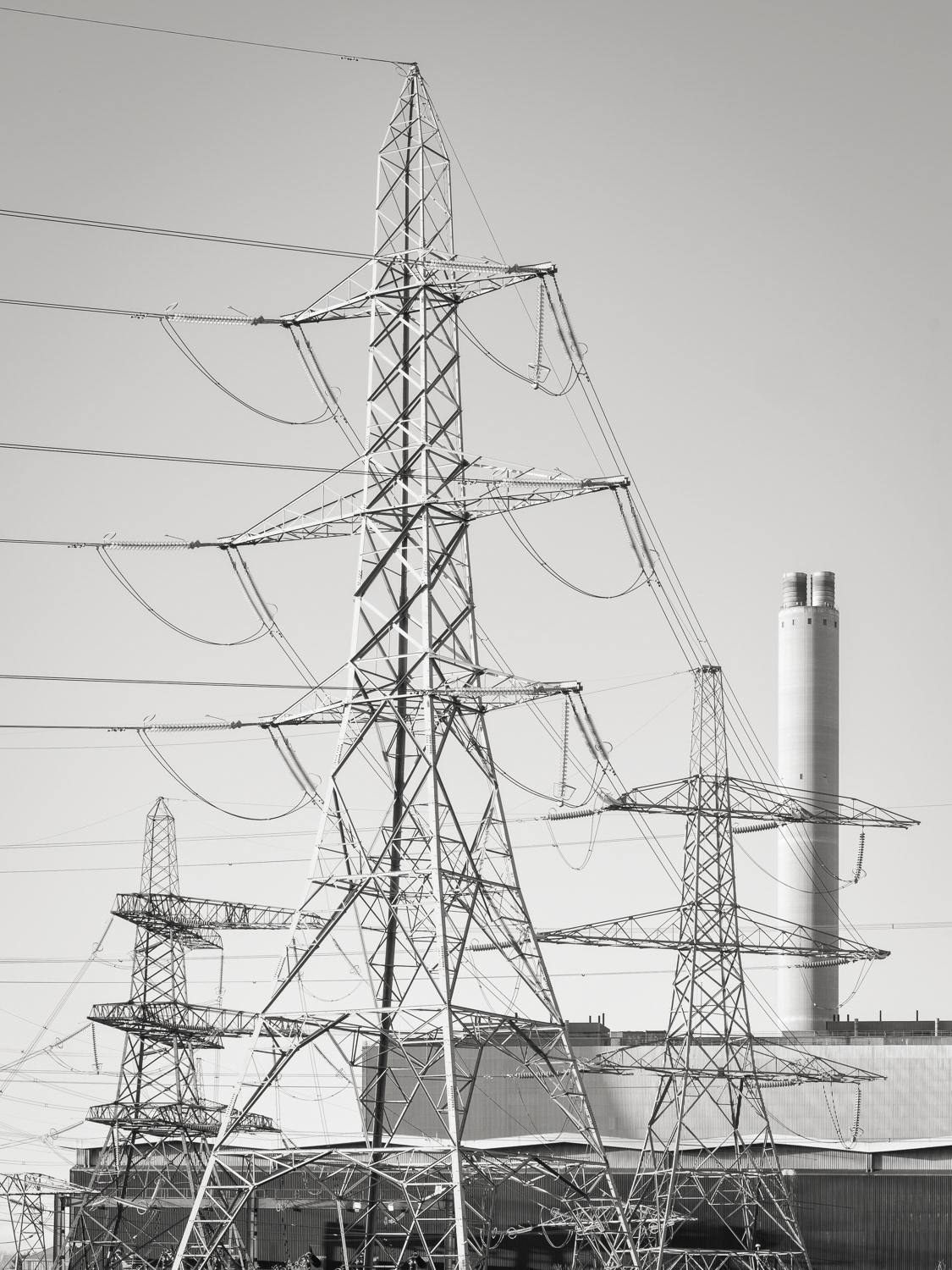
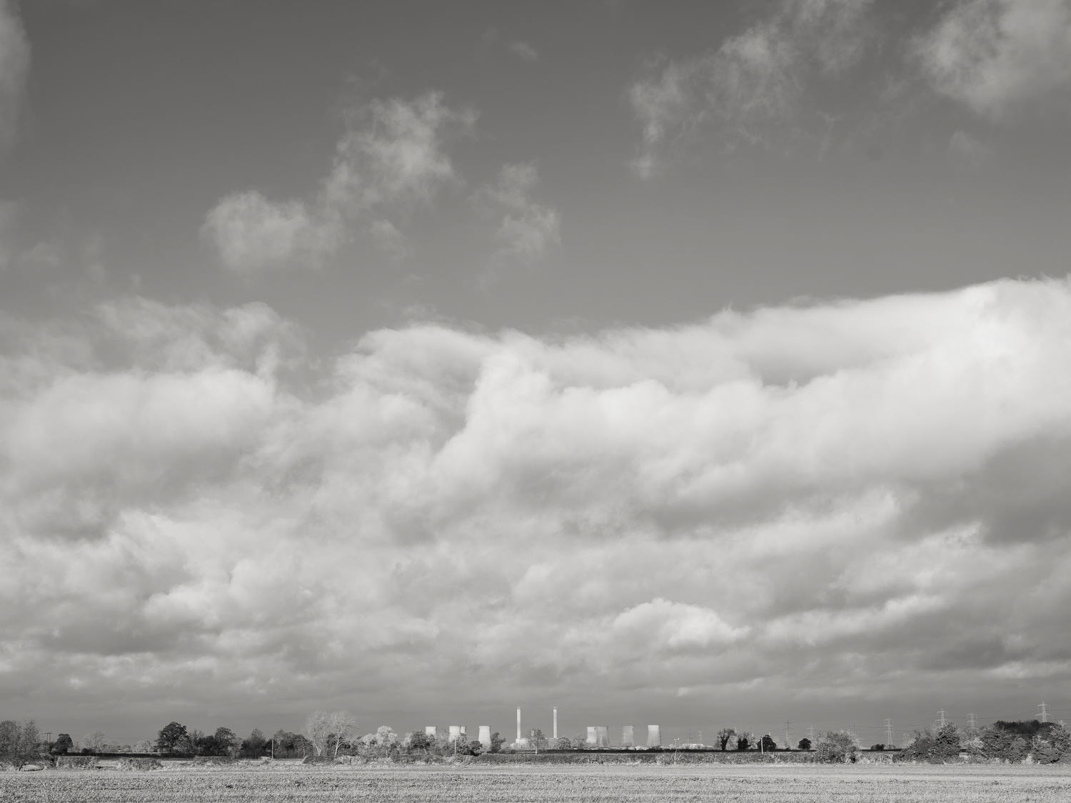
West Burton - Grid 1
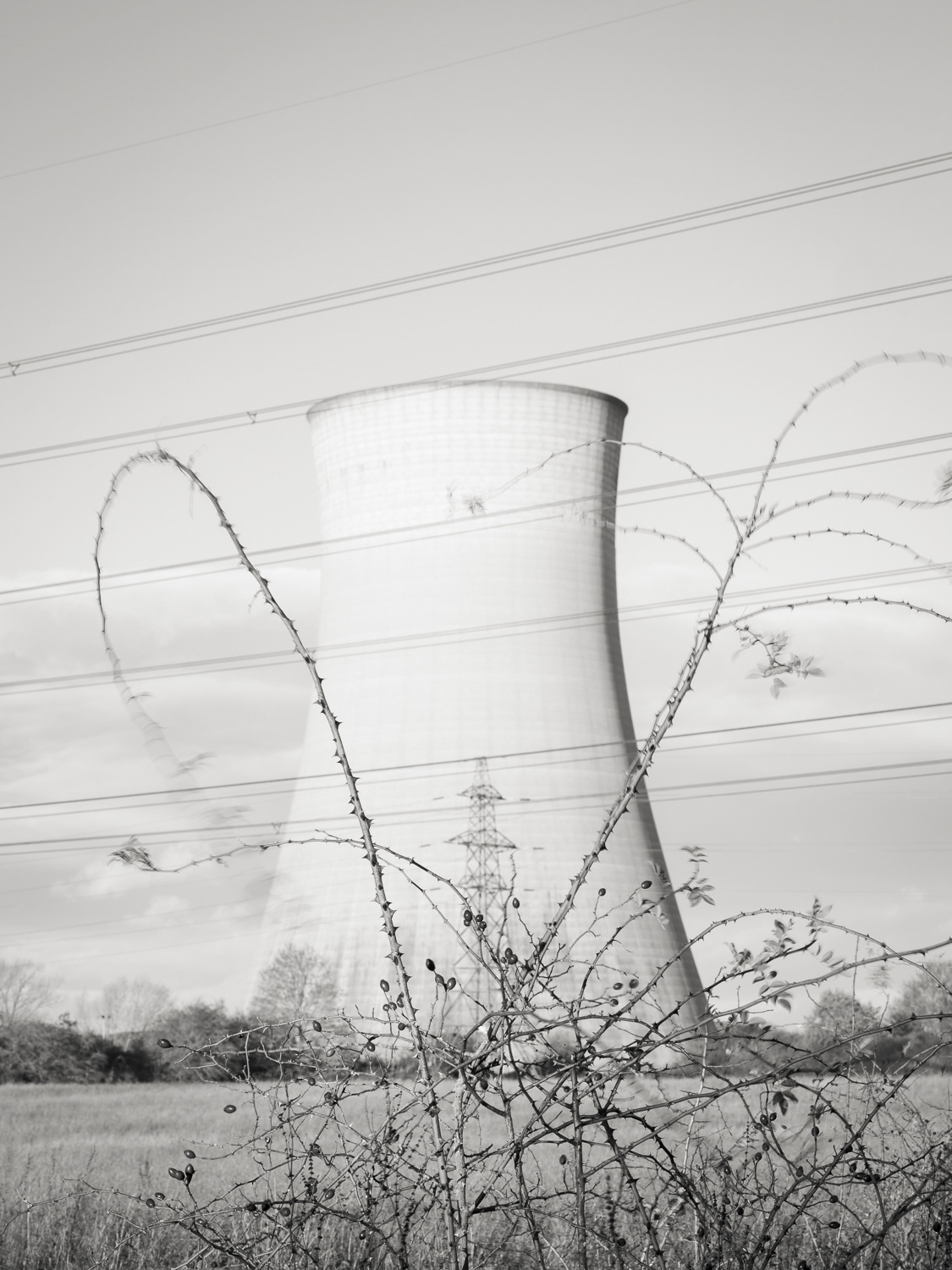
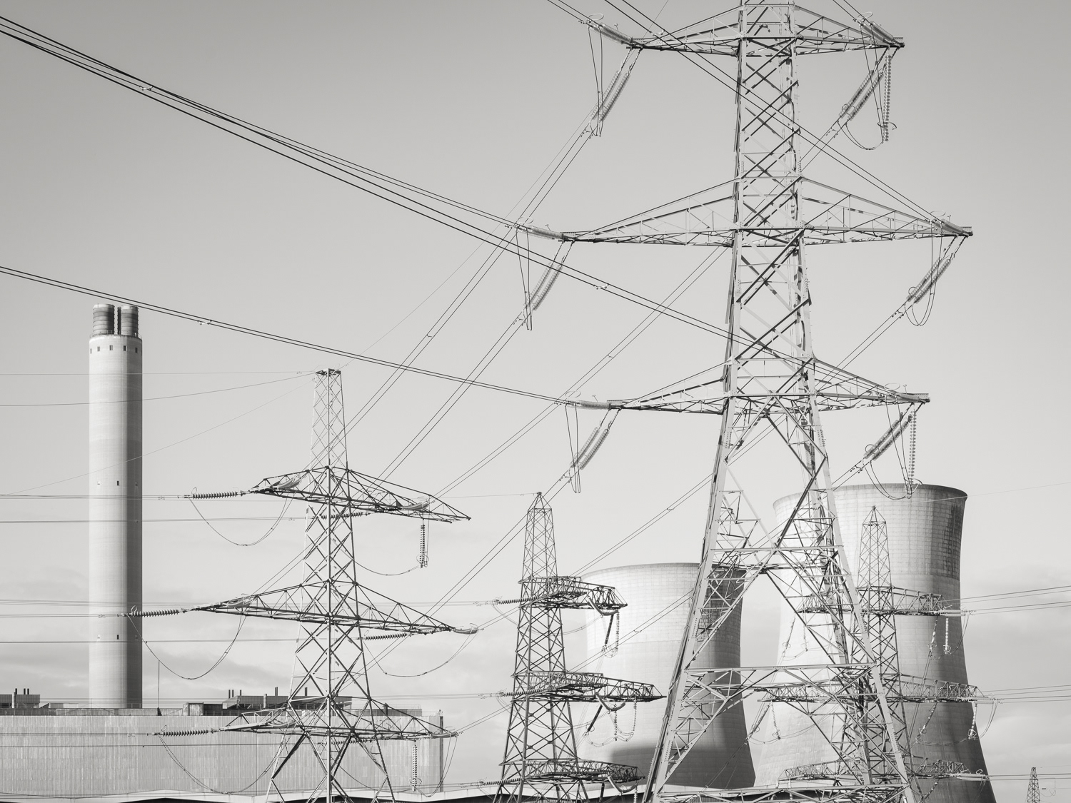
West Burton - Energy Transfer

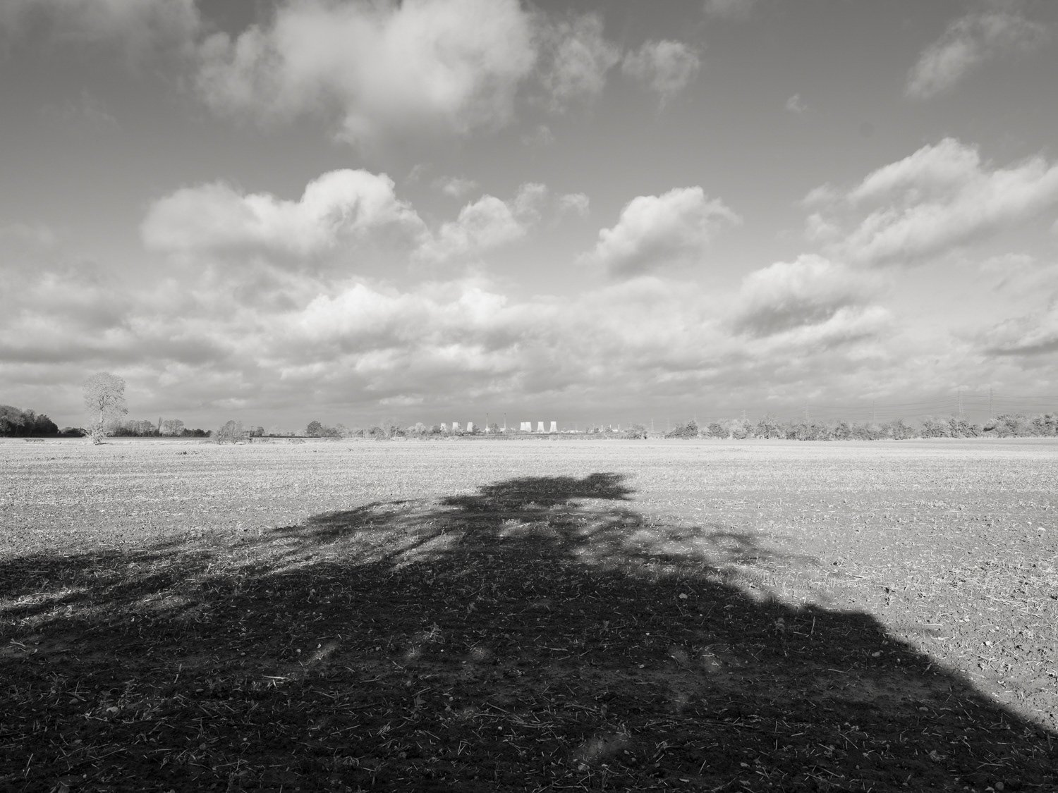
West Burton - Grid 2
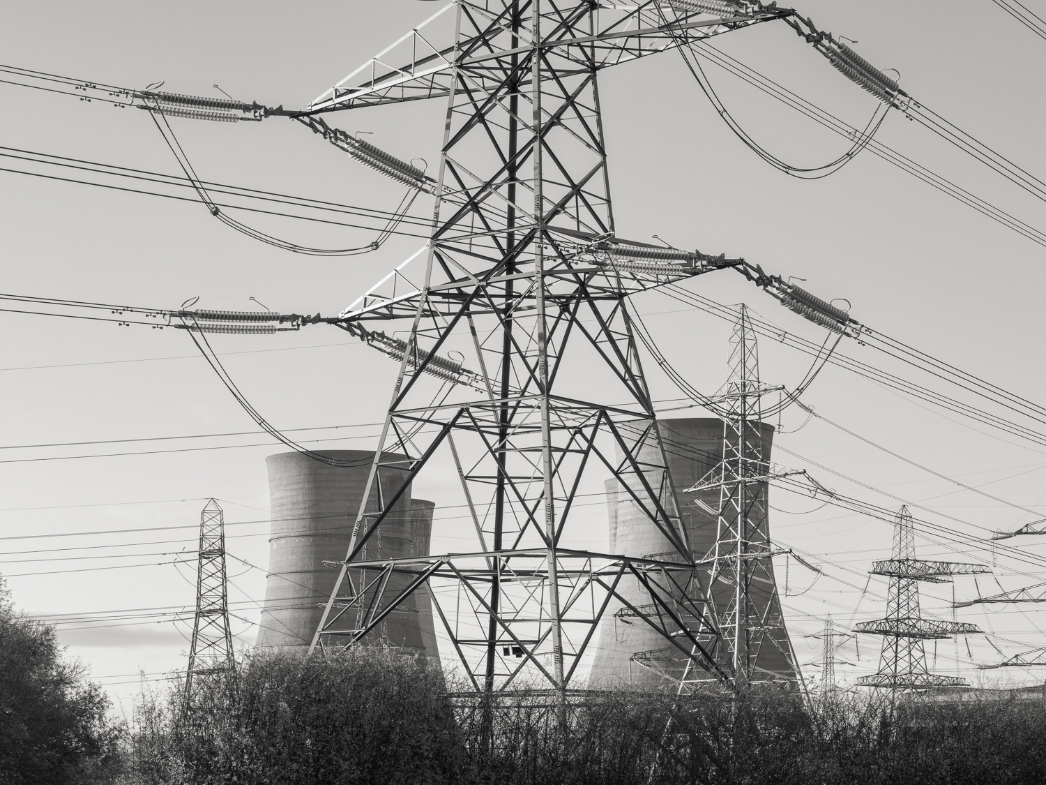
West Burton - Grid 1

West Burton - Grid 2

West Burton - Grid 3
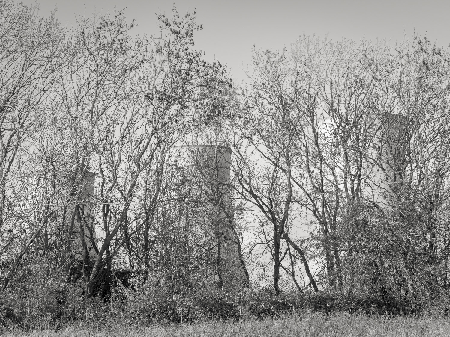
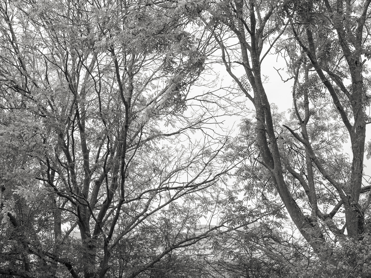
Hidden (1)
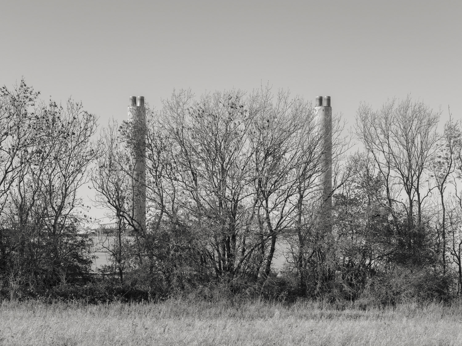
Hidden (2)
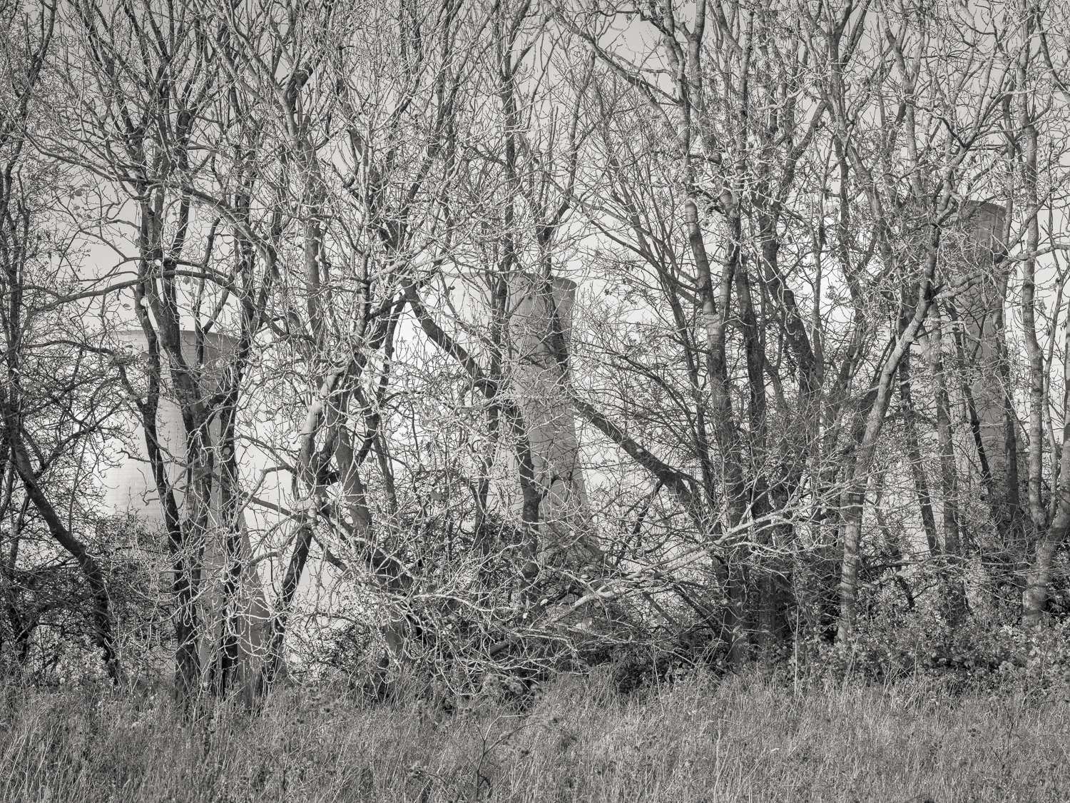
Hidden (3)
West Burton from Cottam
West Burton from Cottam
West Burton from Cottam
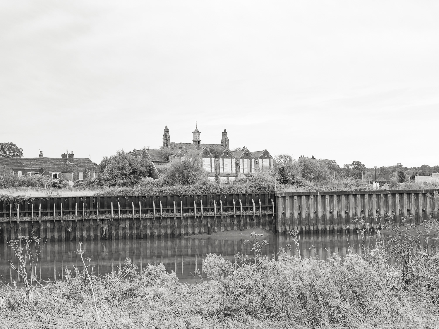
Gainsborough School
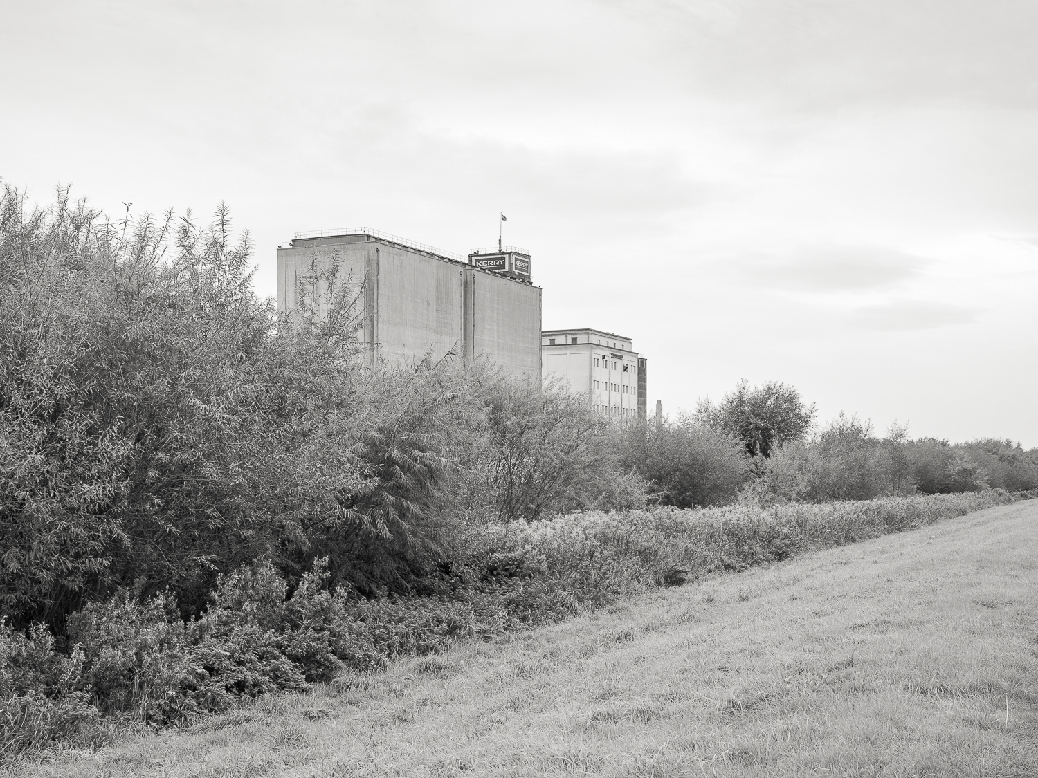
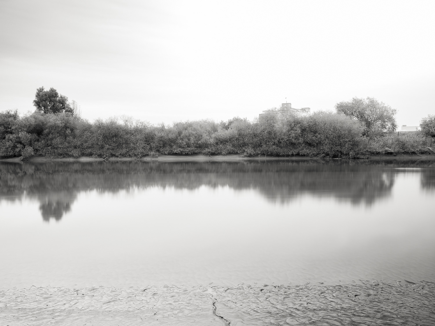
Kerry Flour Mill
West Trent Junction
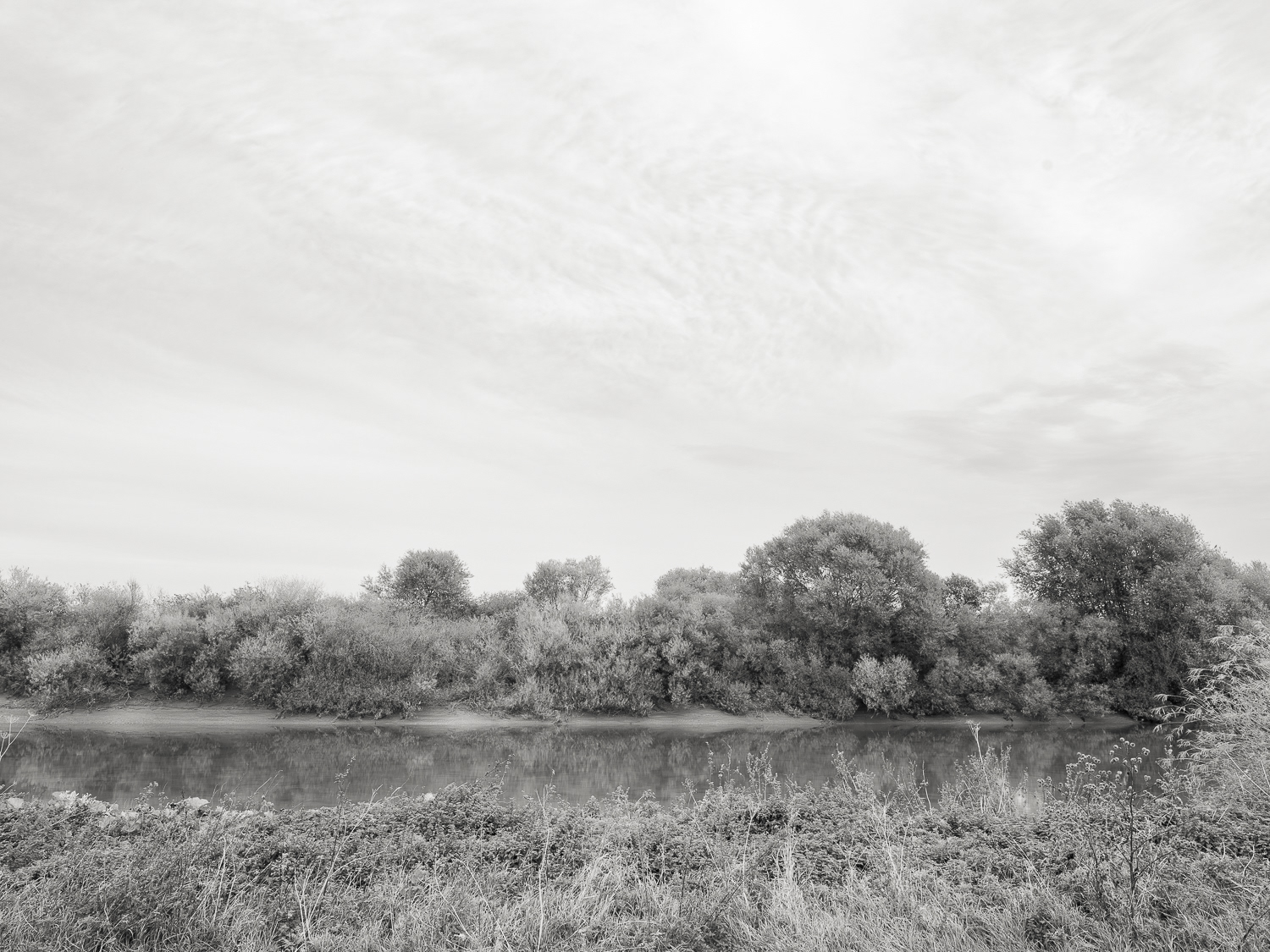
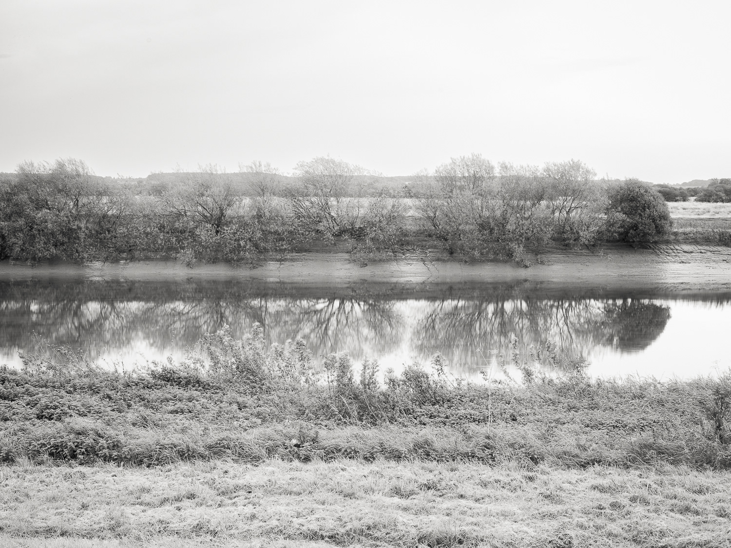
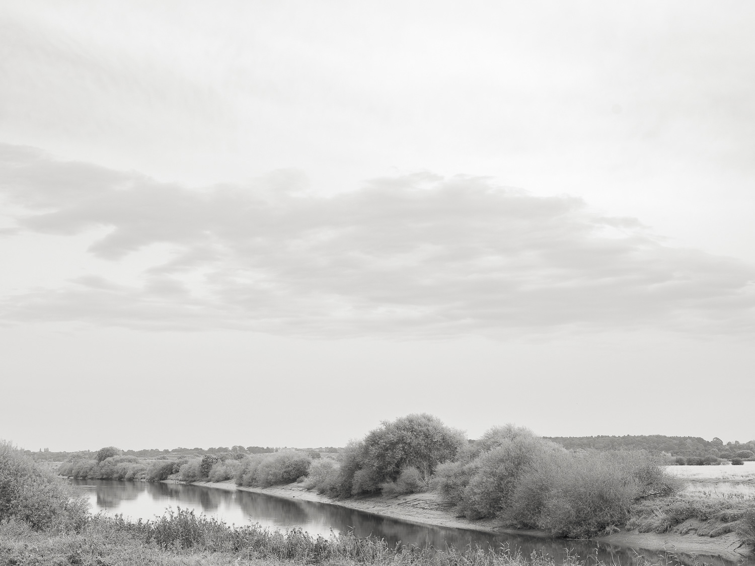
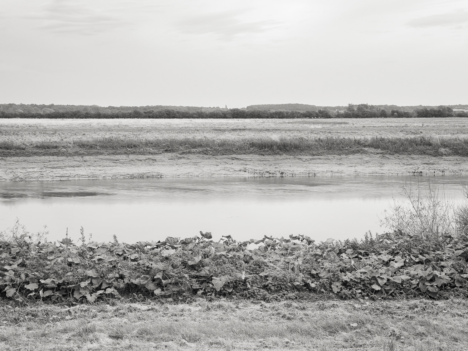
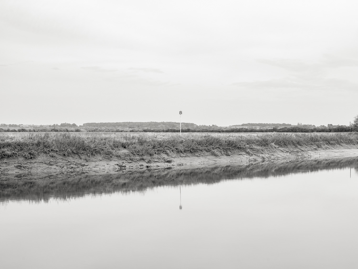
Trent
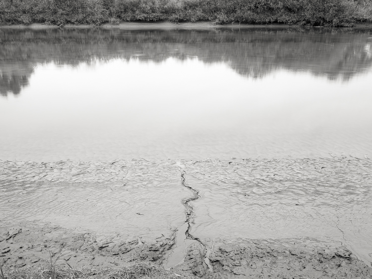
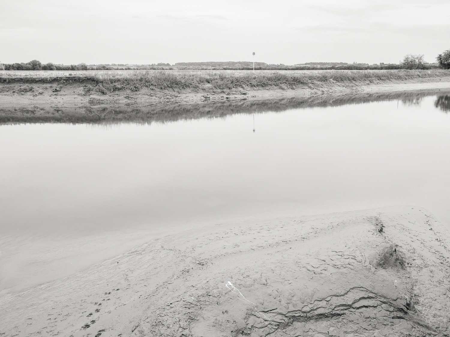
Trent (Low)
Trent (Low)
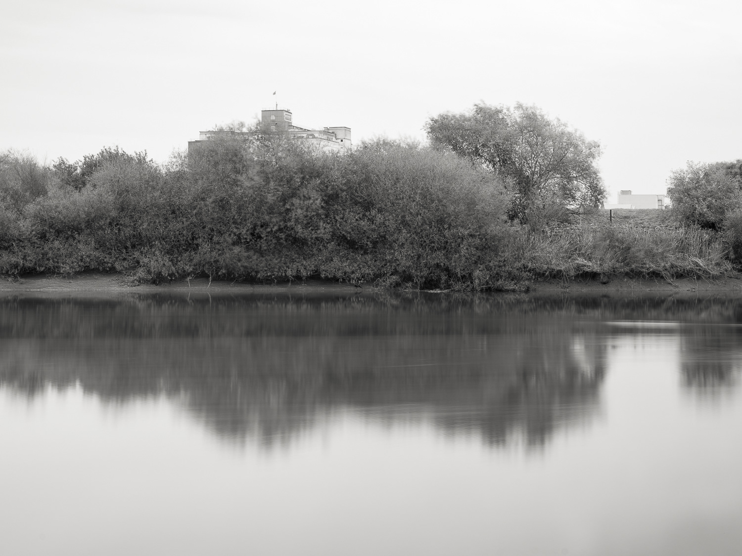
Kerry Flour Mill - Trent
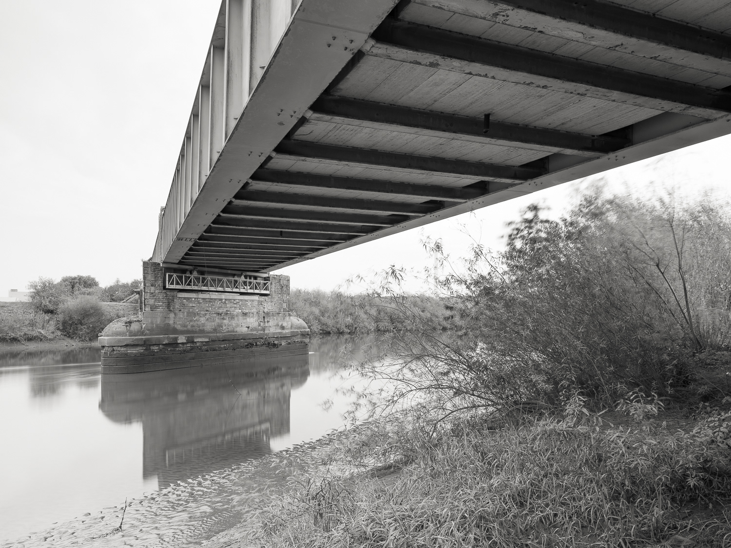
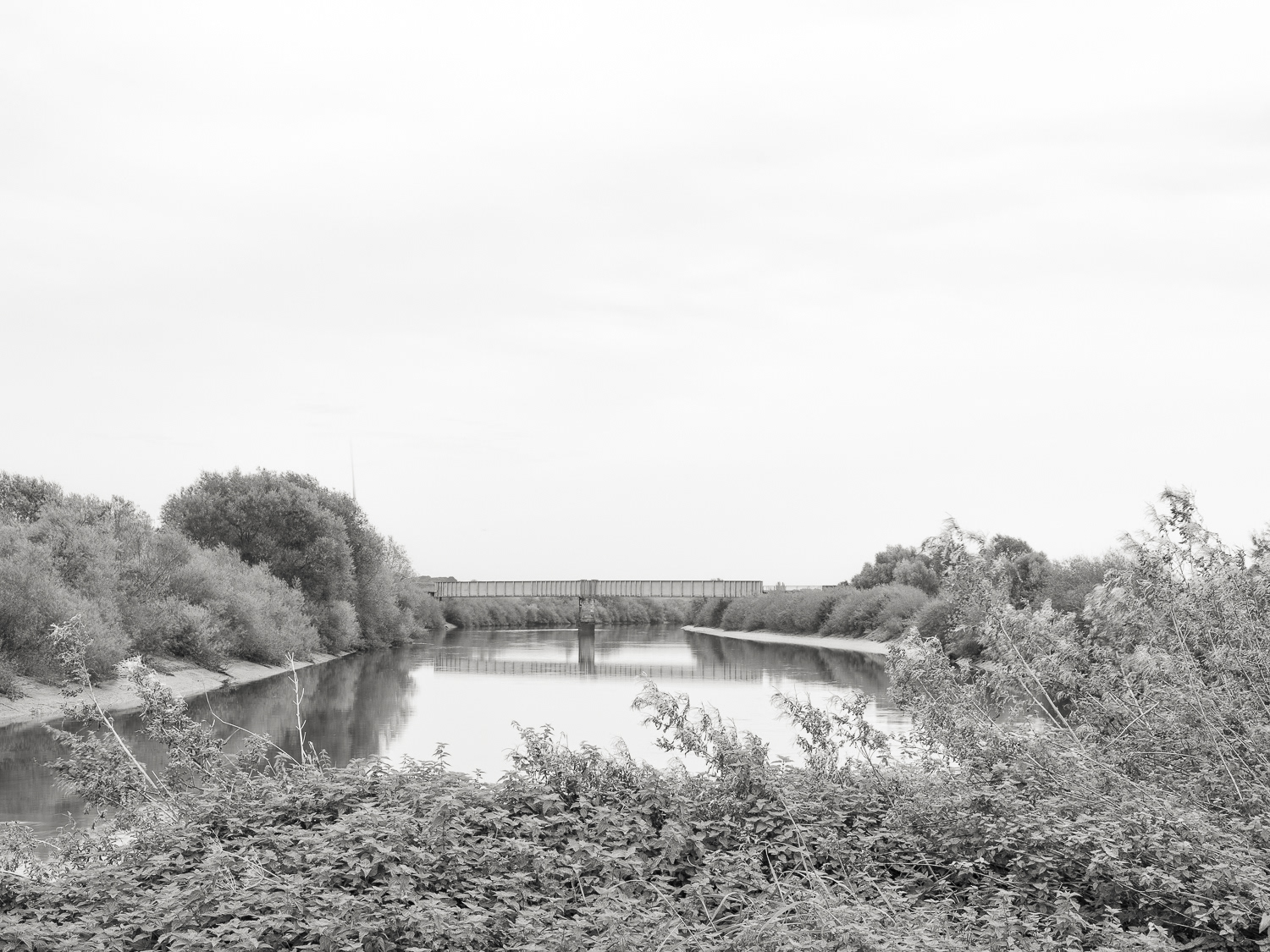
West Trent Junction Bridge
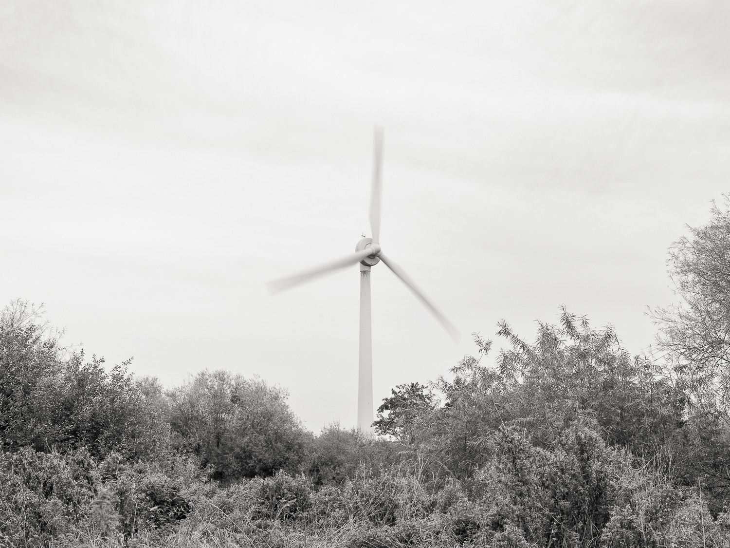
Wind Turbine - Trent
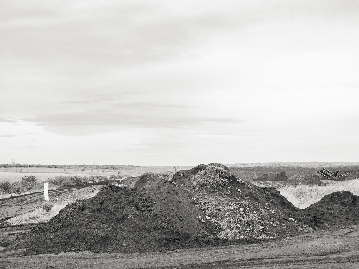
Bole Ings - Ash
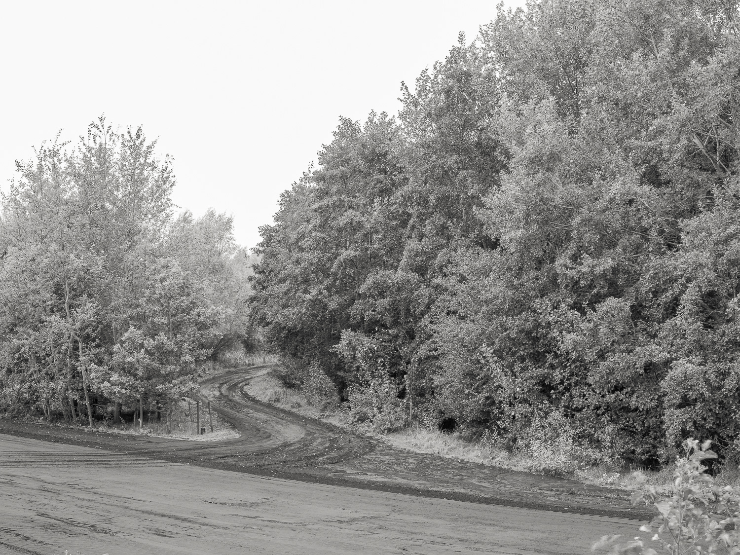
The Dirt Road - Bole Ings
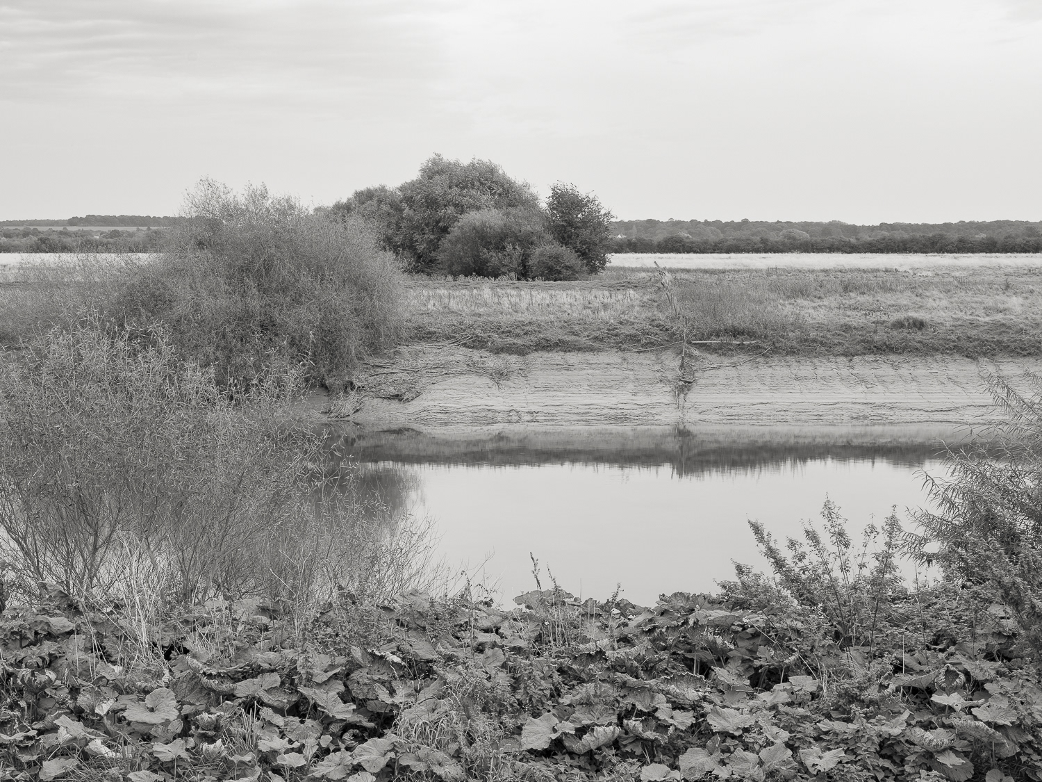
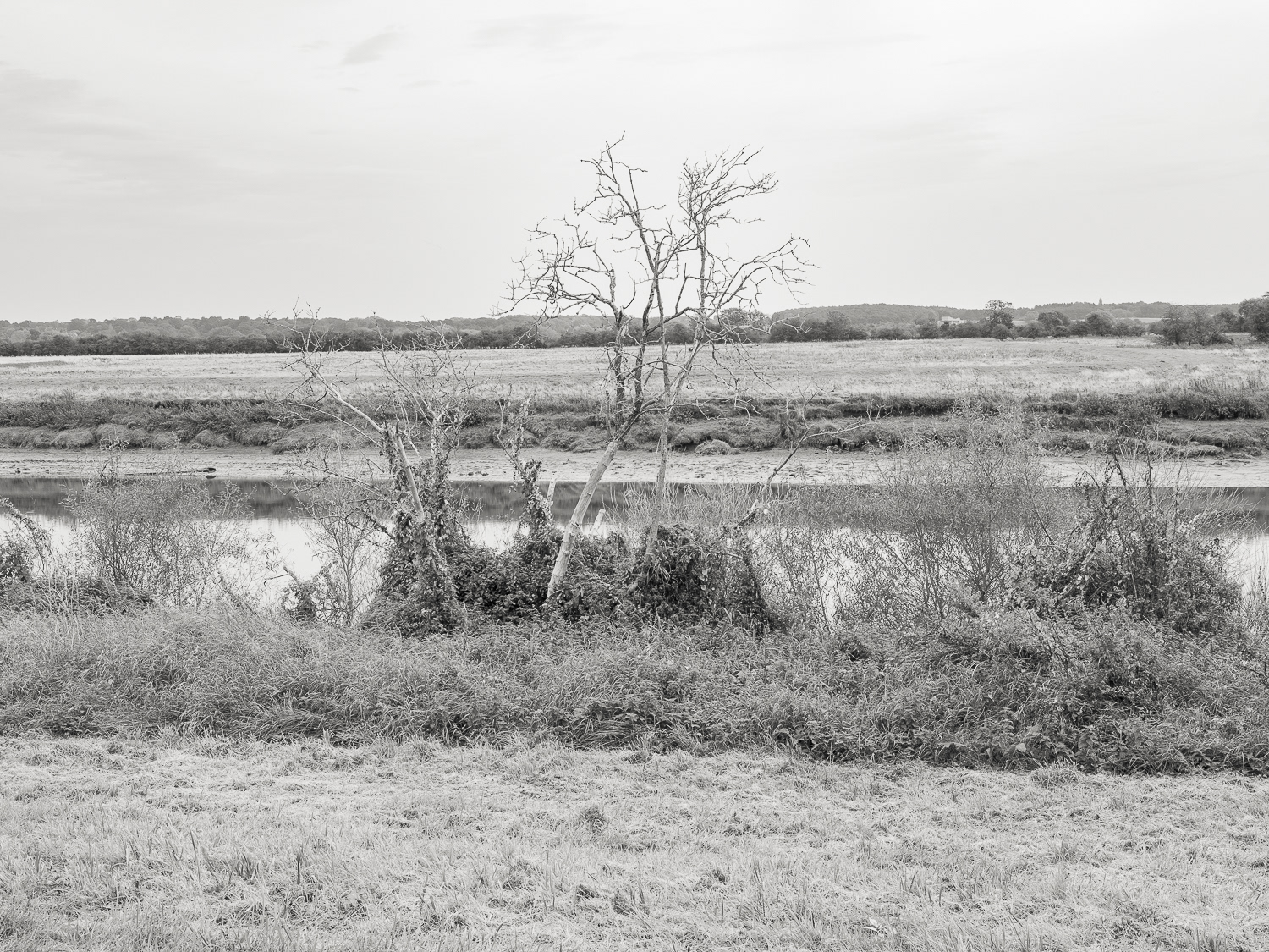
Trent - West Burton
Trent (Low)
Trent
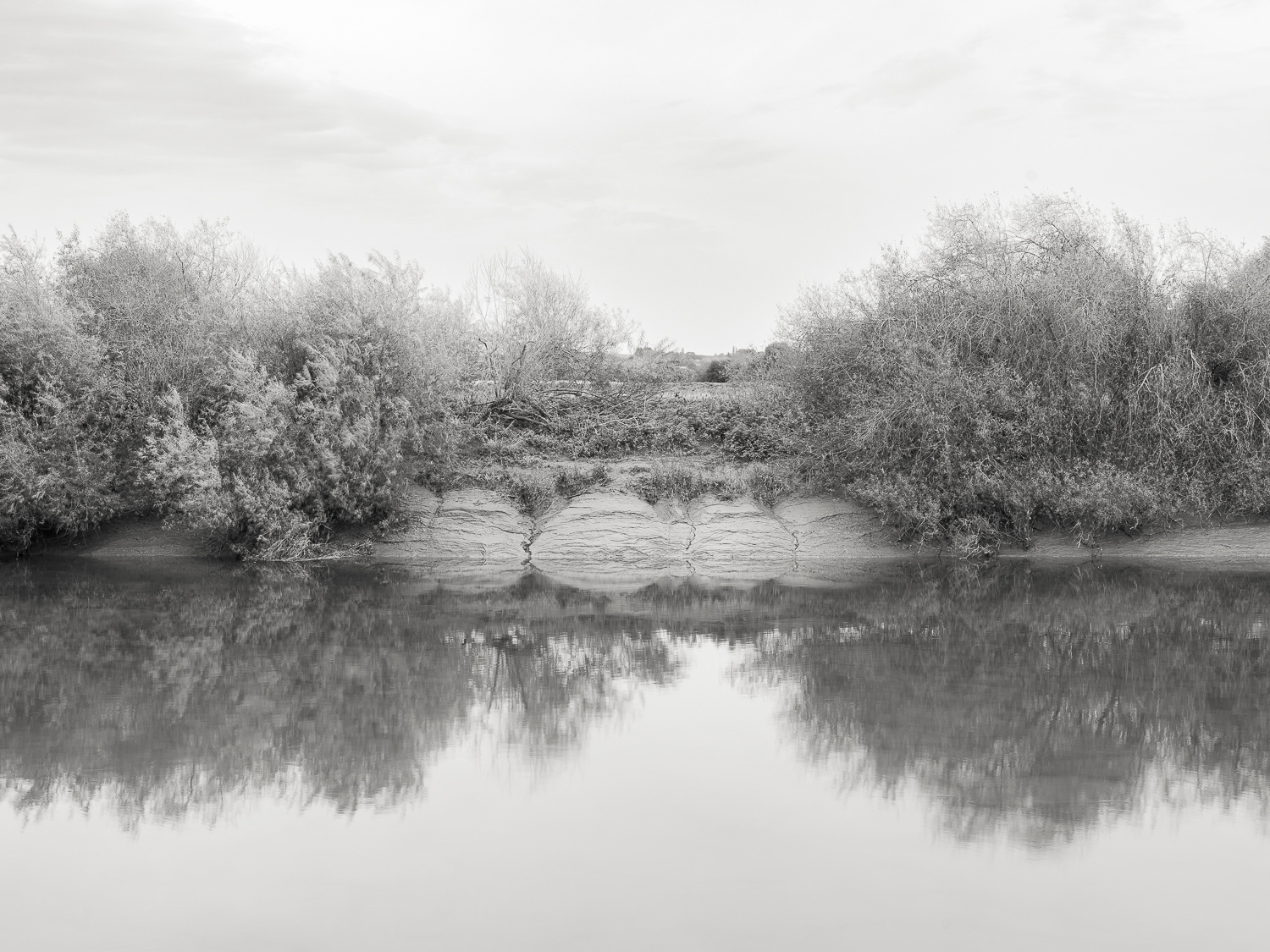
Trent (Low)
Trent (Low)
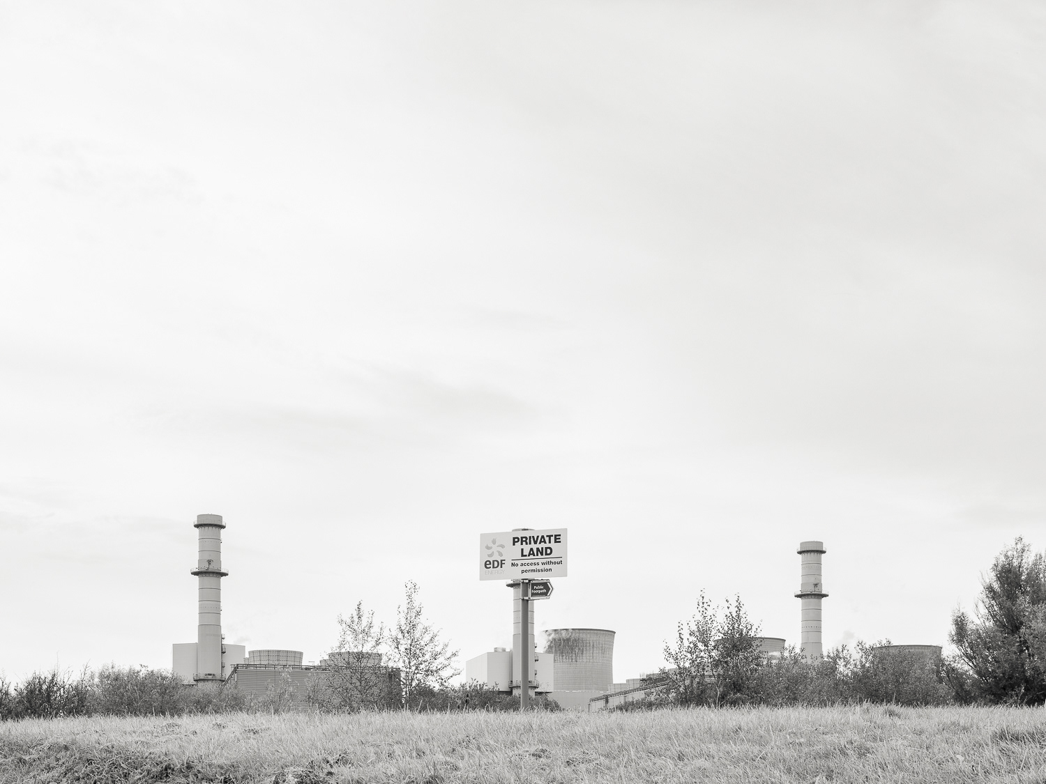
Private - West Burton B

Trent (Low)
Trent (Low)
Ash - West Burton B
Trent Low
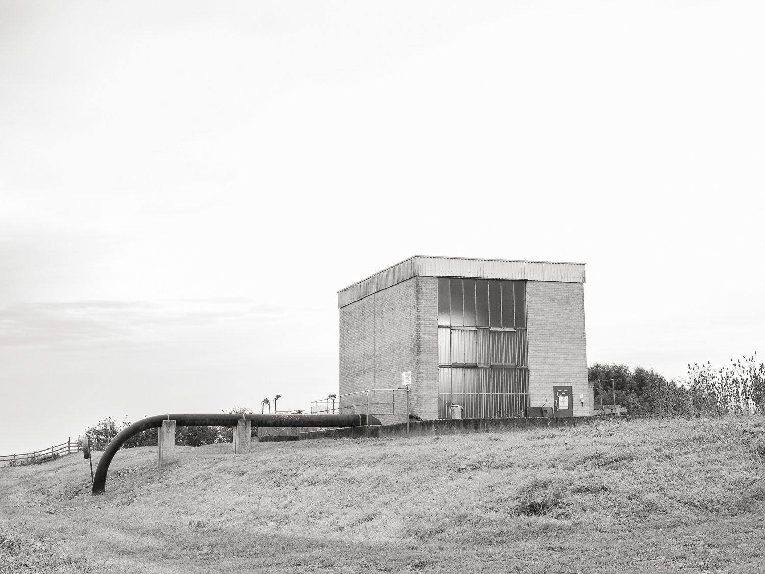
Pump - West Burton
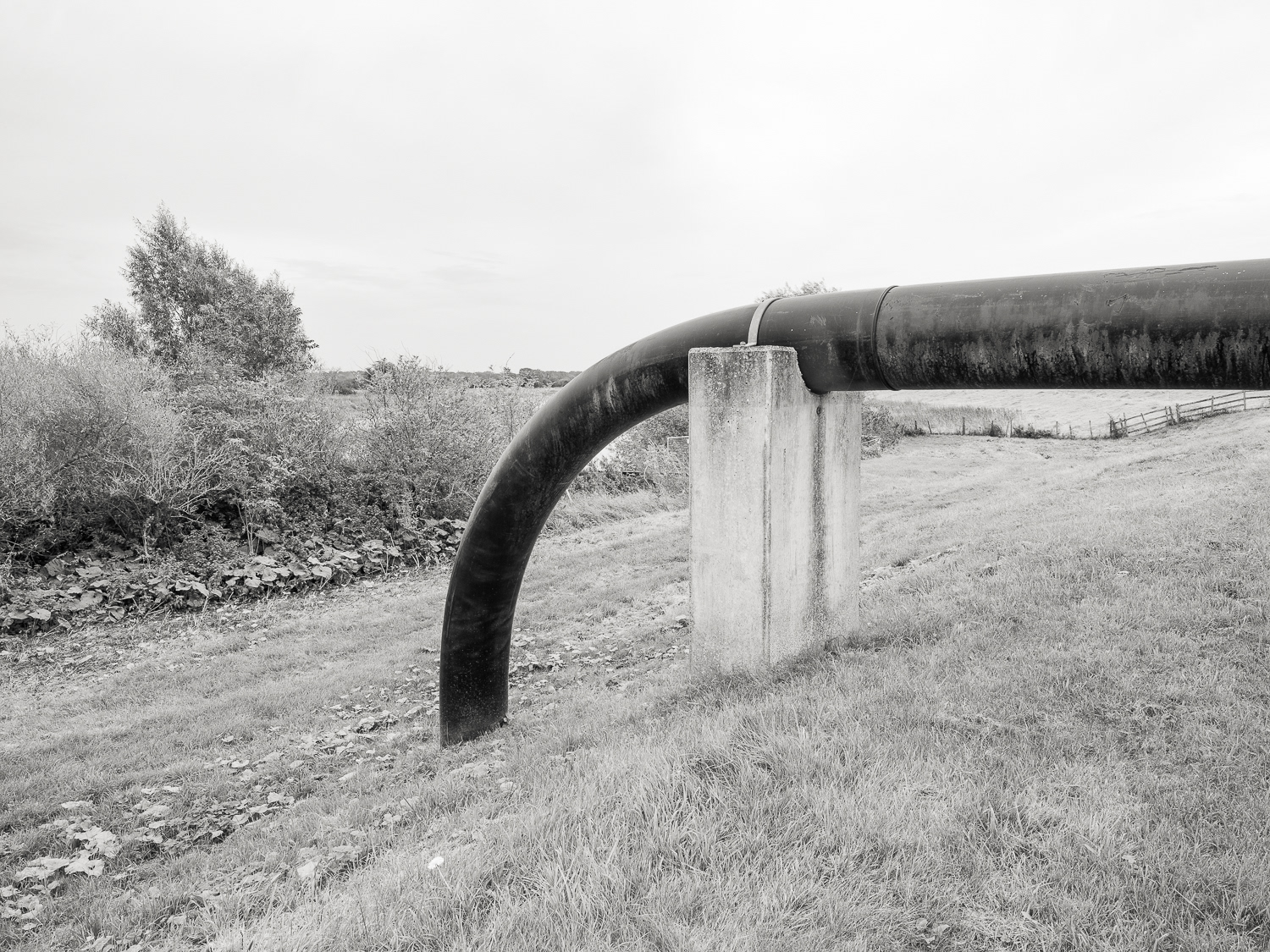
Pump
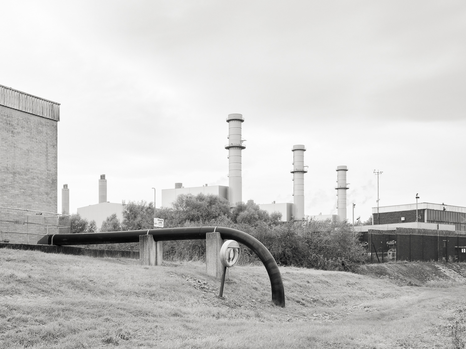
West Burton A, B Pump and Plant
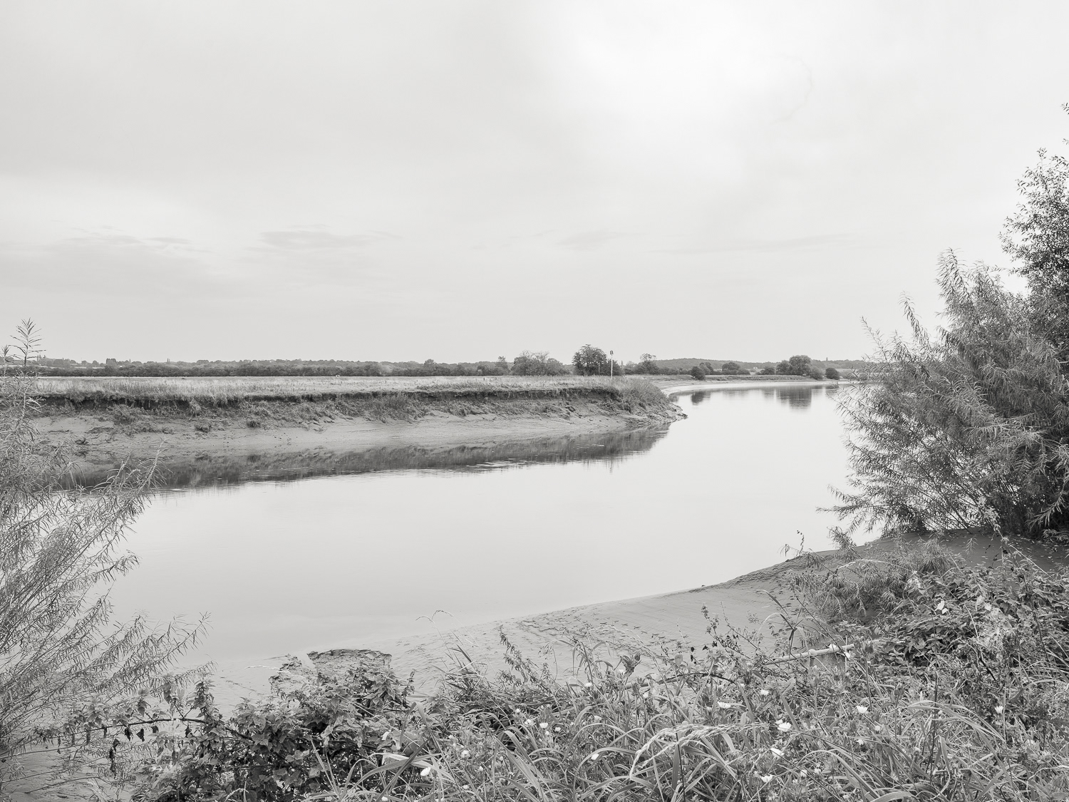
Trent - West Burton
Trent - West Burton
Trent West Burton
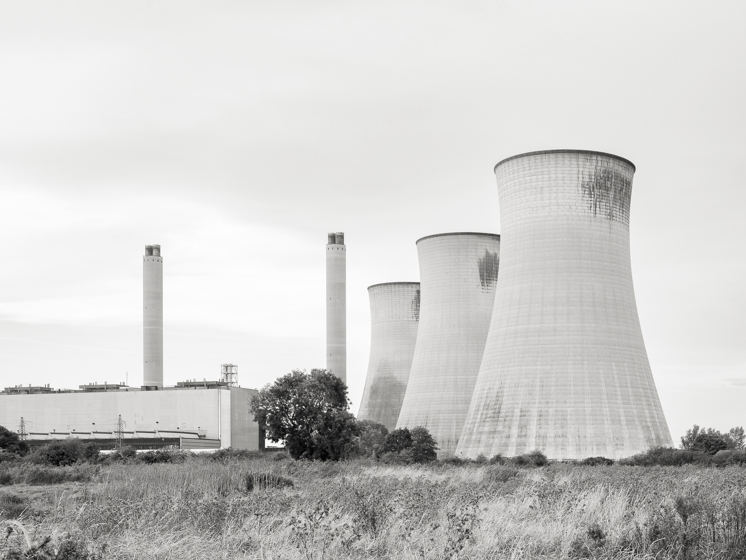
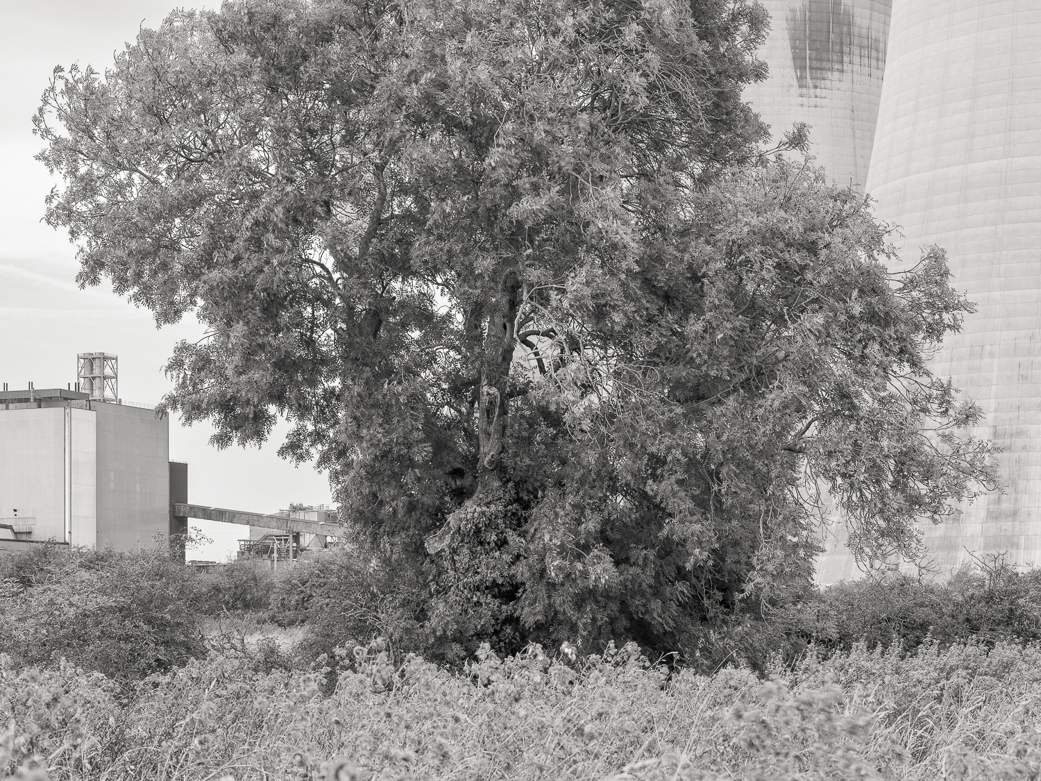
West Burton A
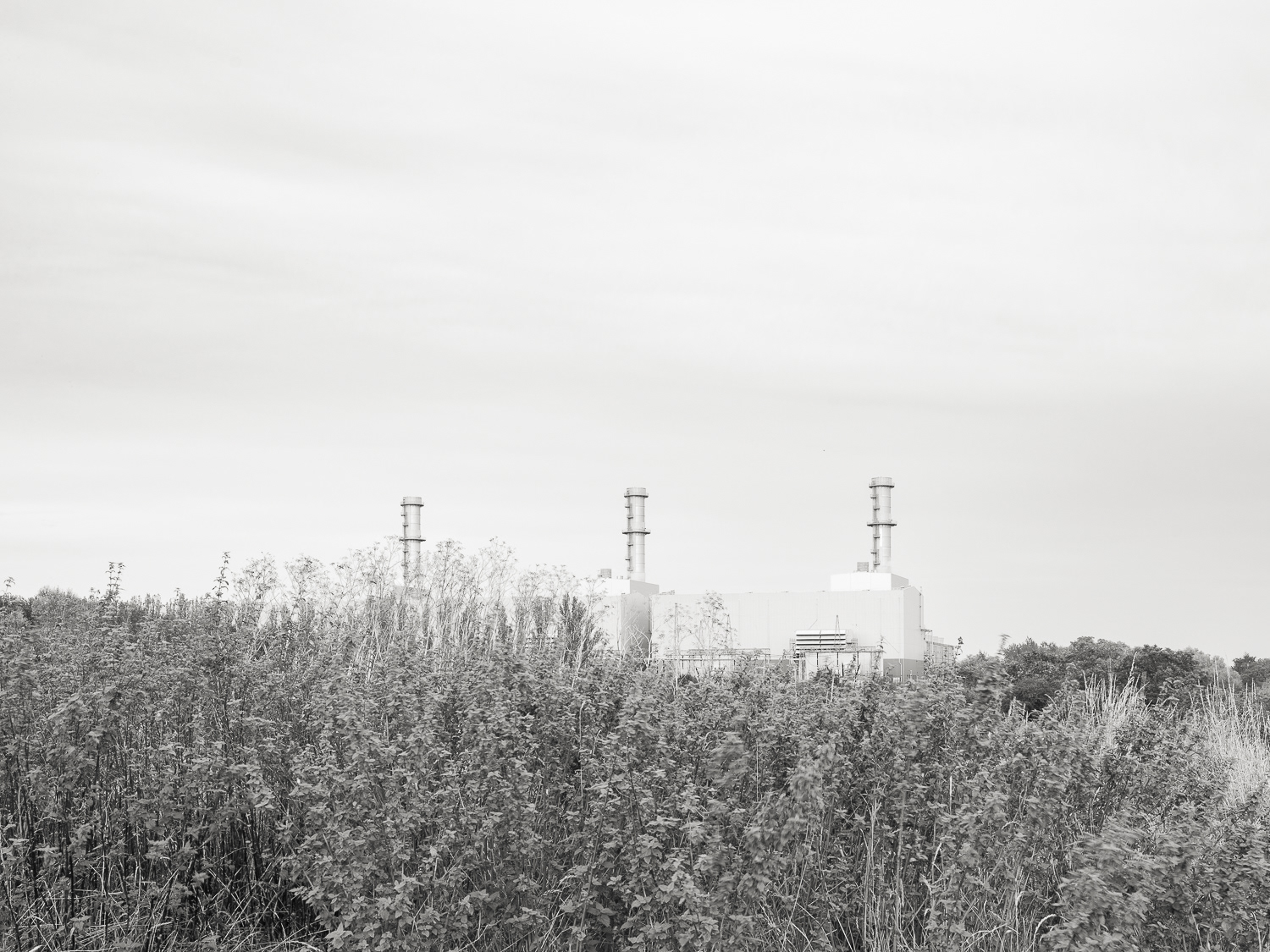
West Burton B
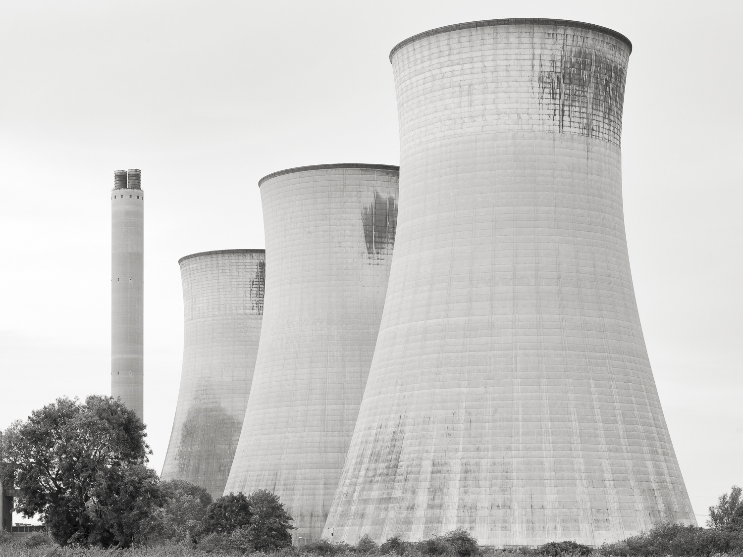
West Burton A
Ash - West Burton A
West Burton A
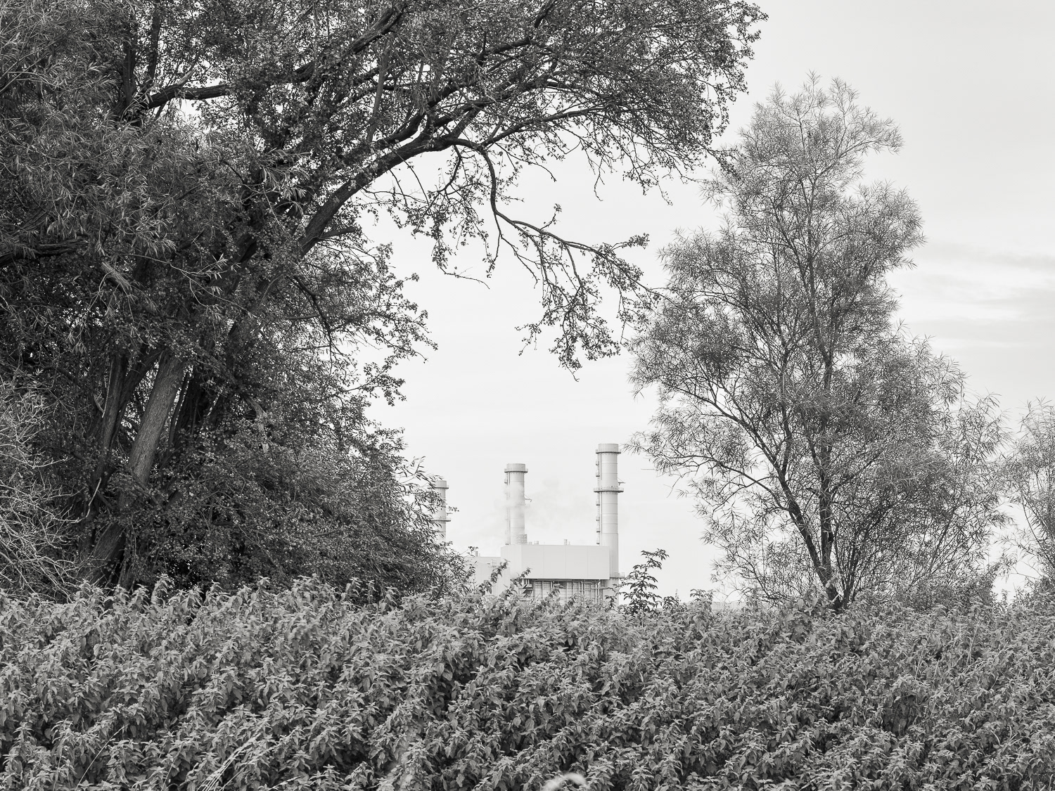
West Burton B
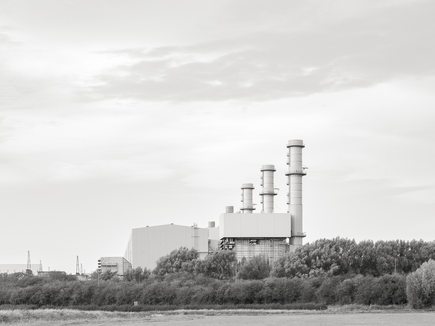
West Burton B
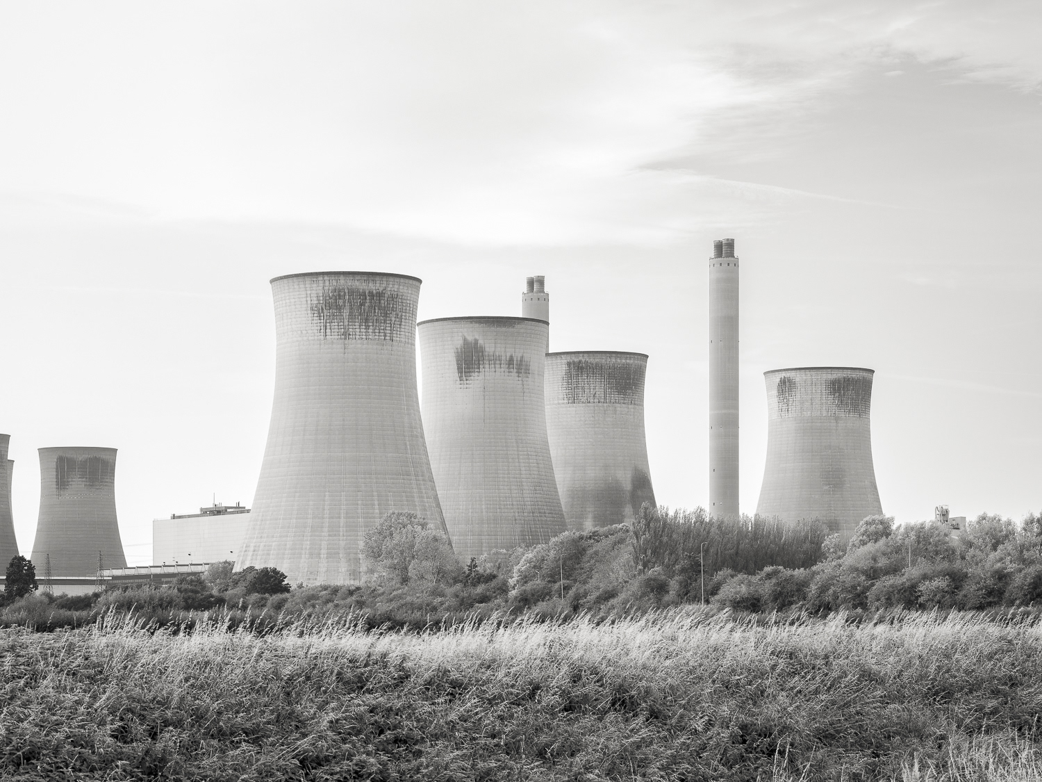
West Burton A
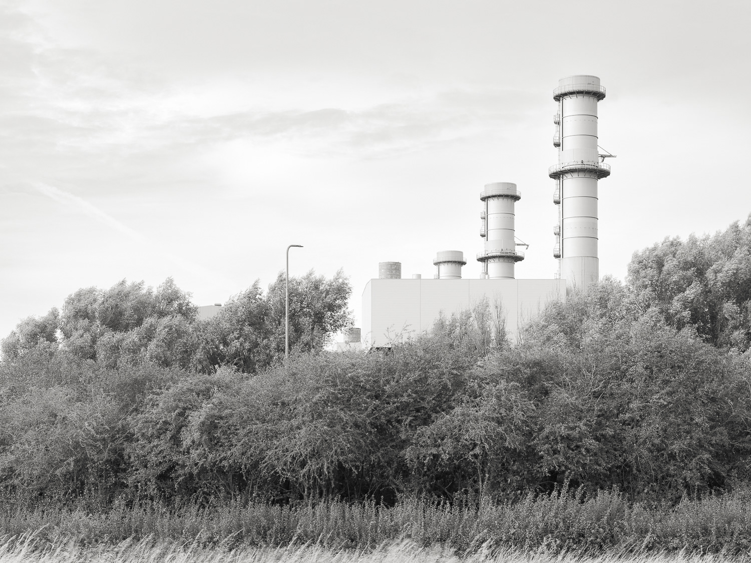
West Burton B
- Back -