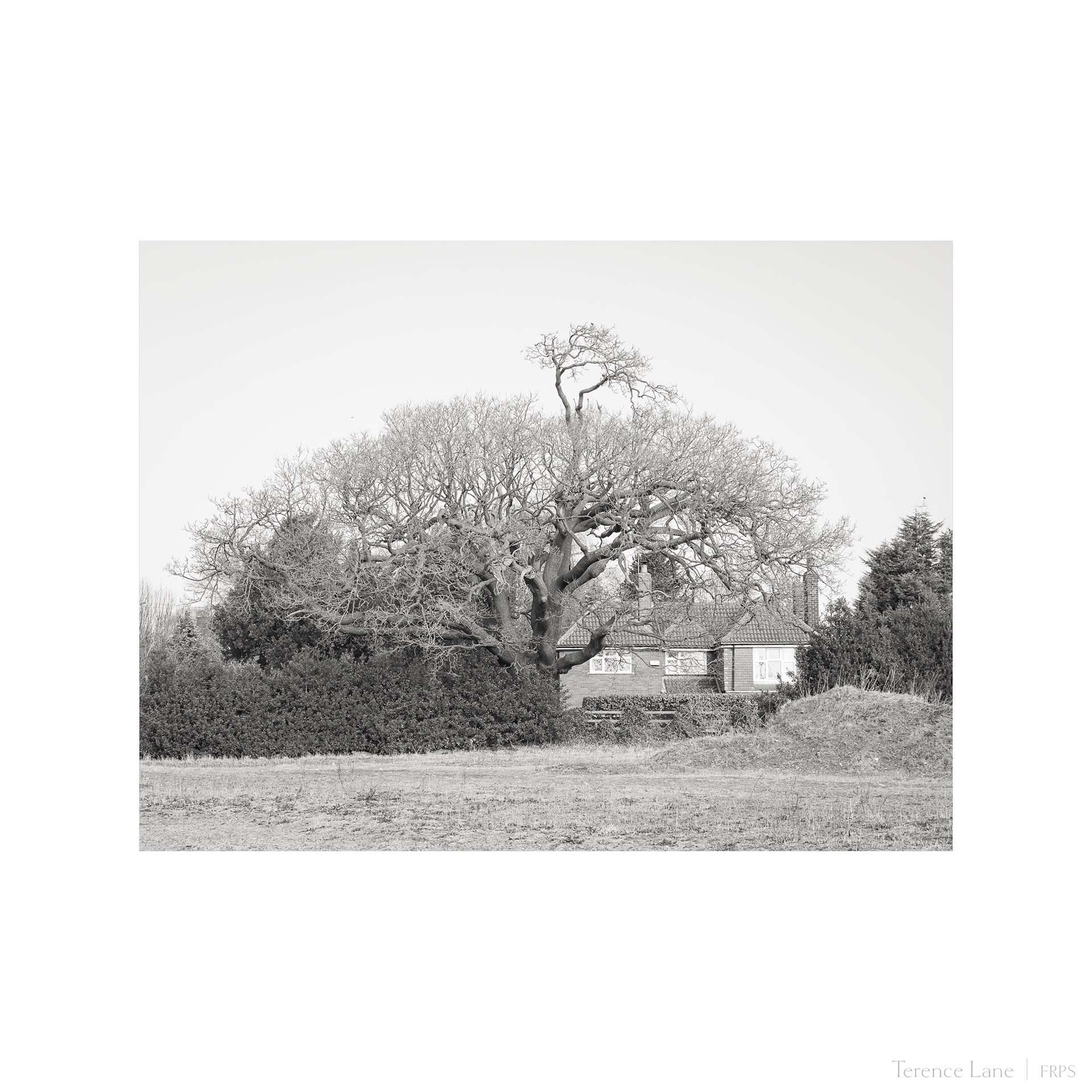
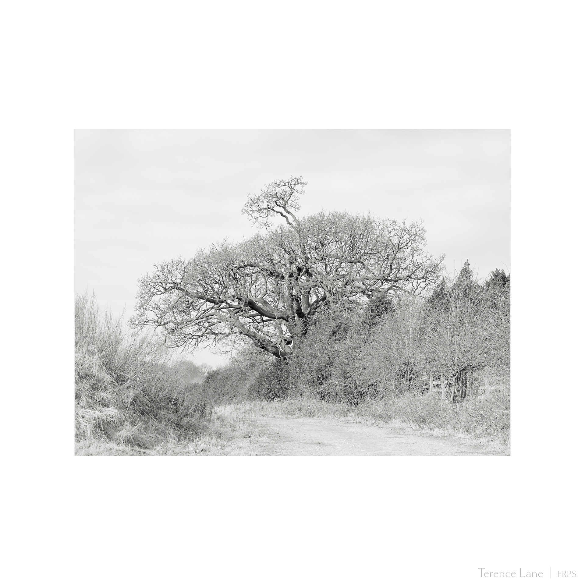
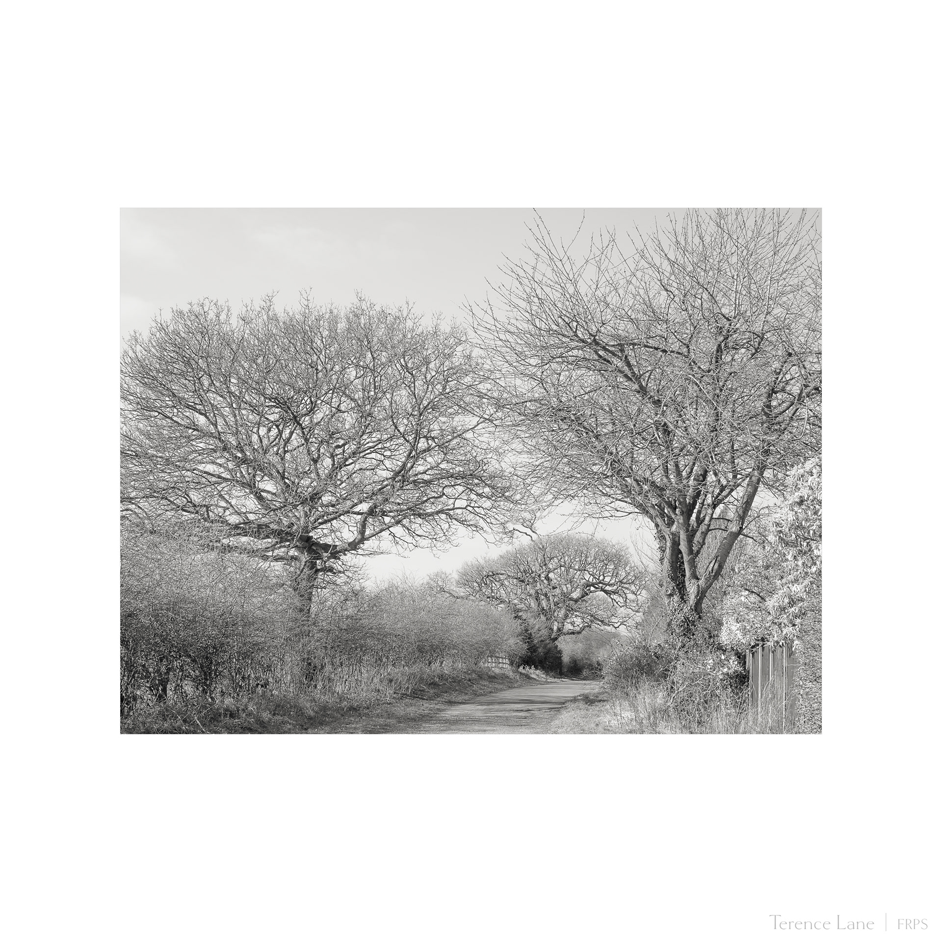
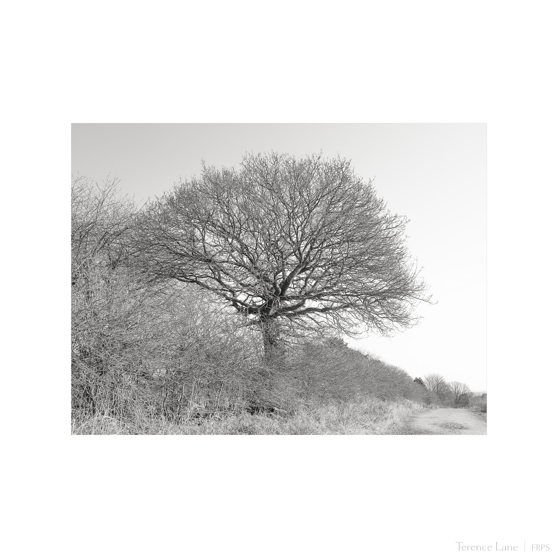
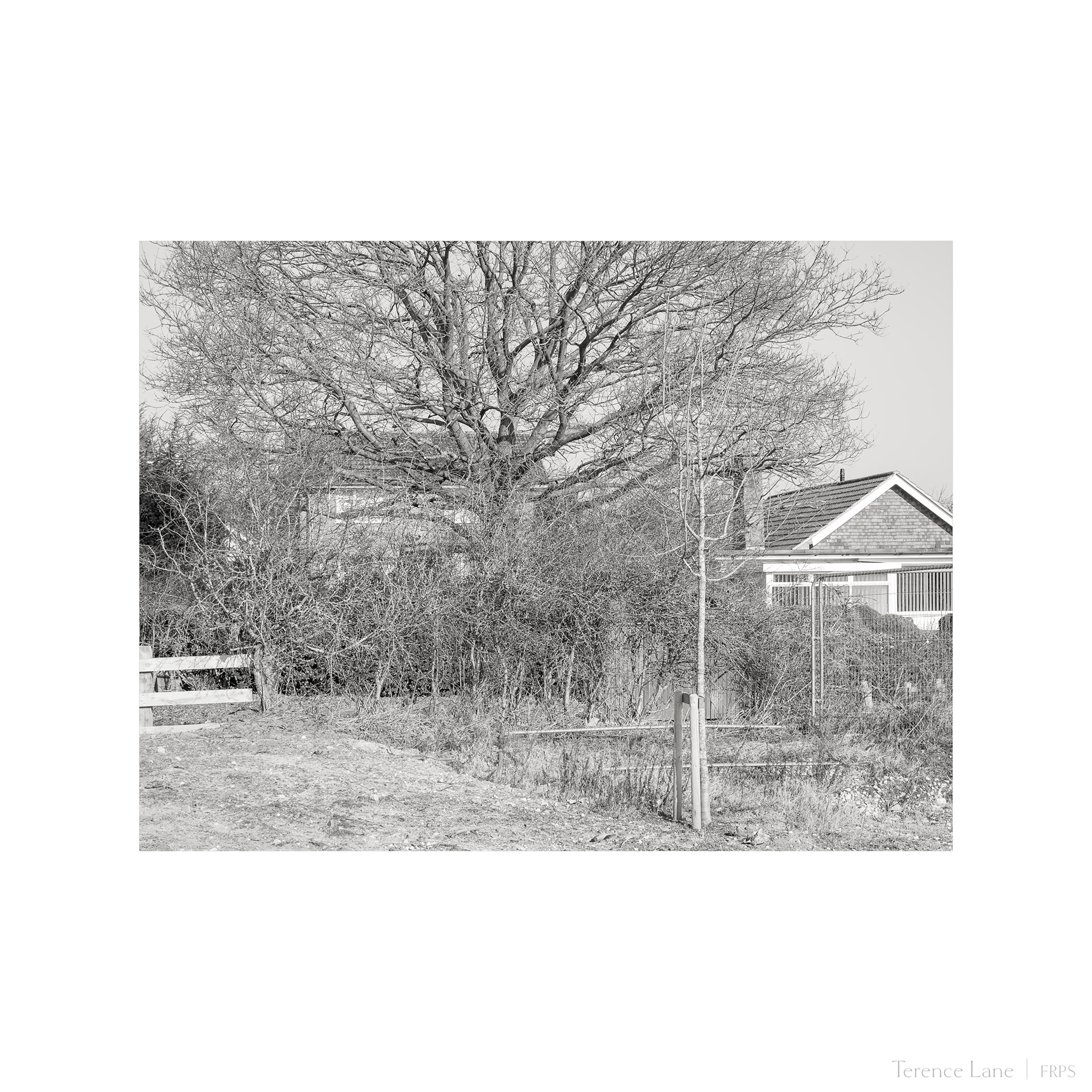
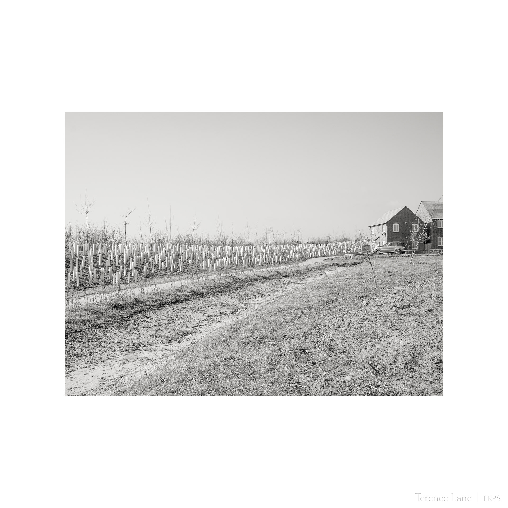
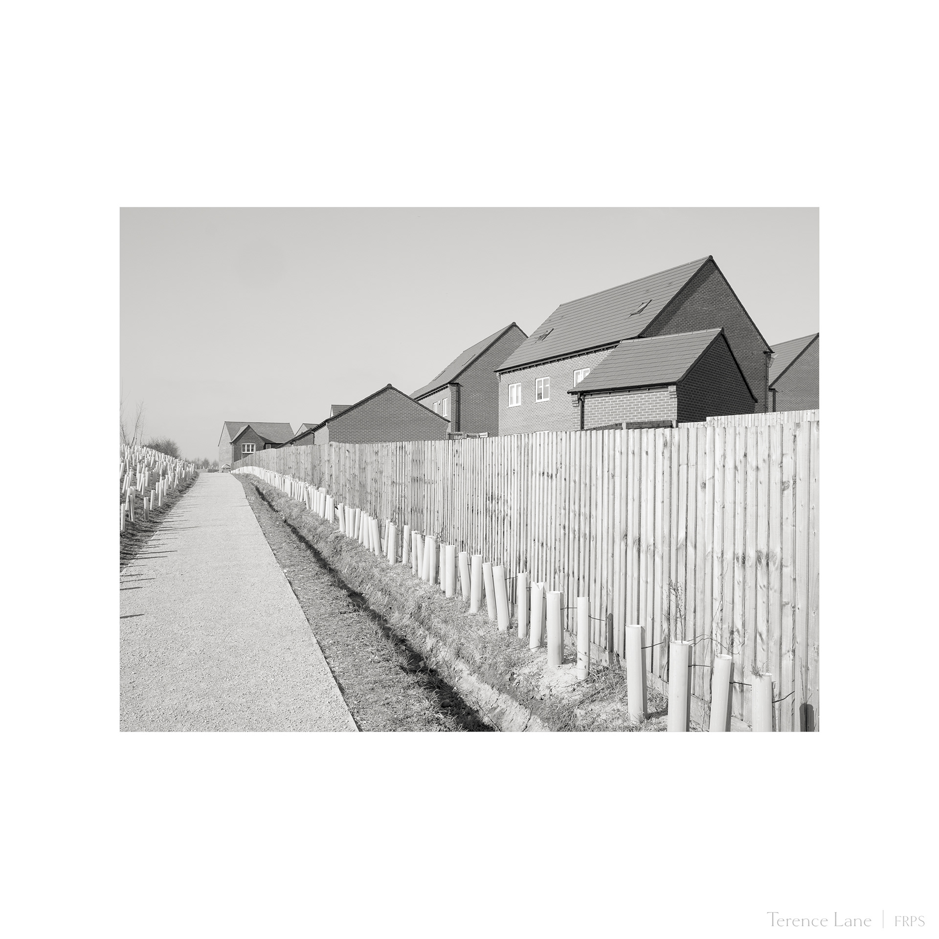
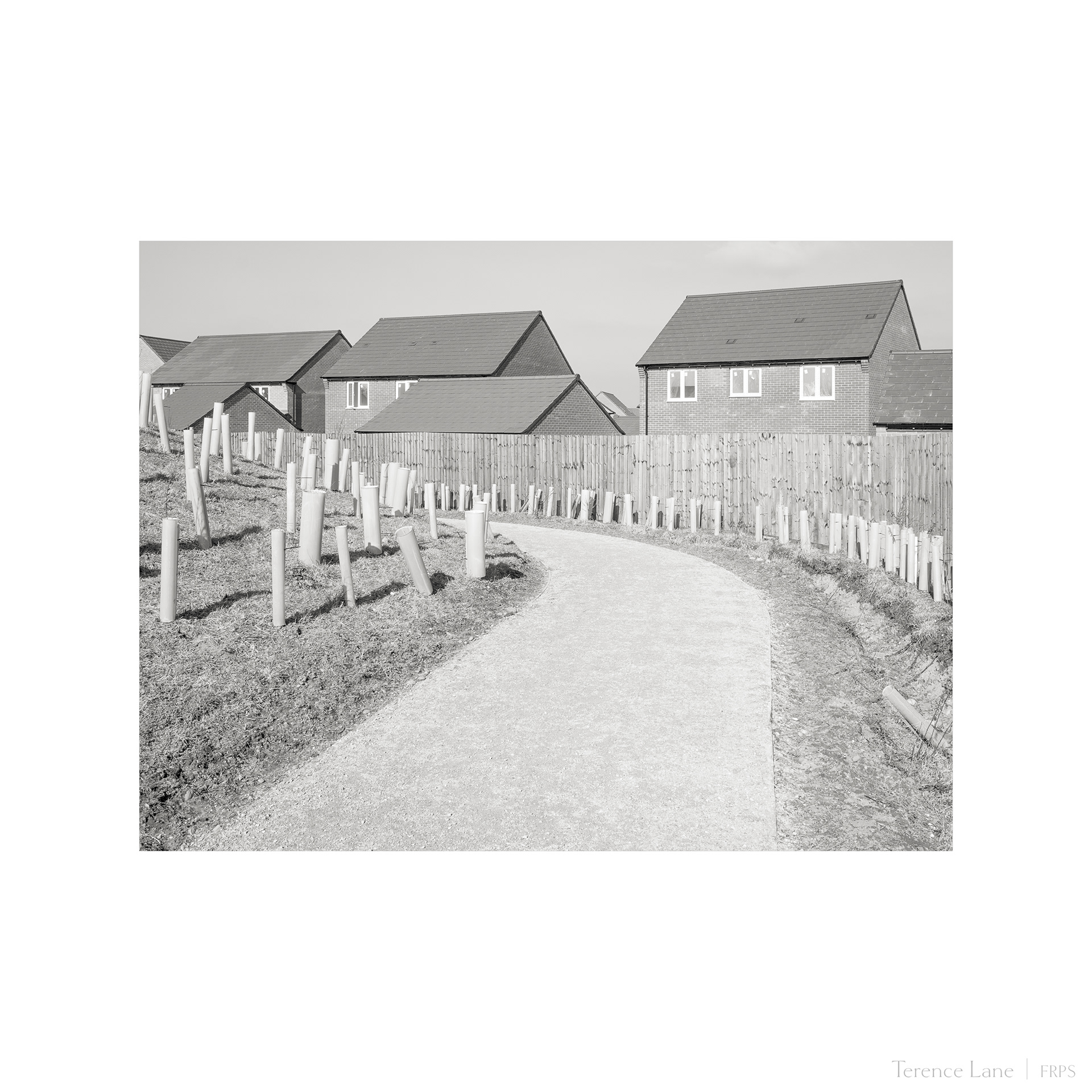
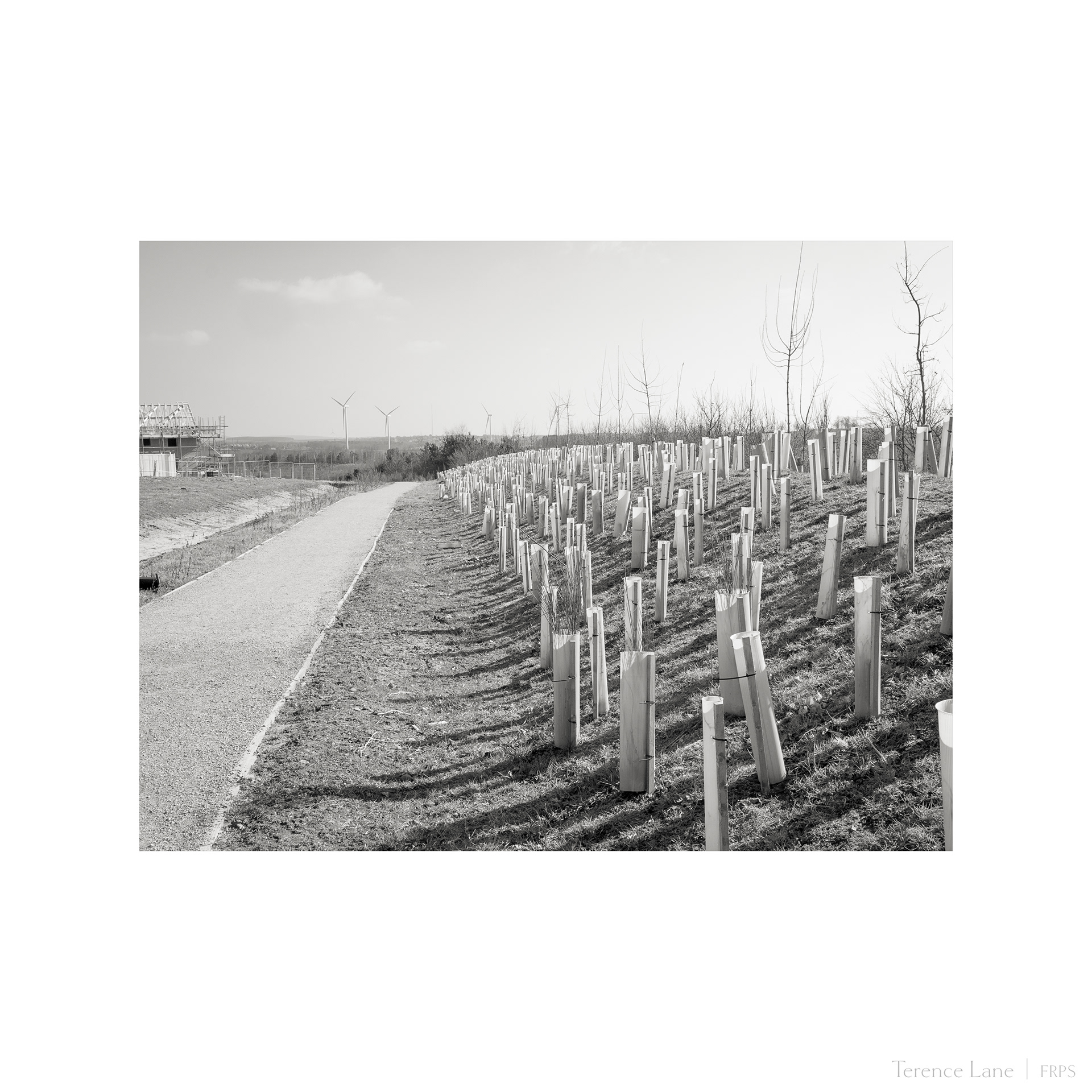
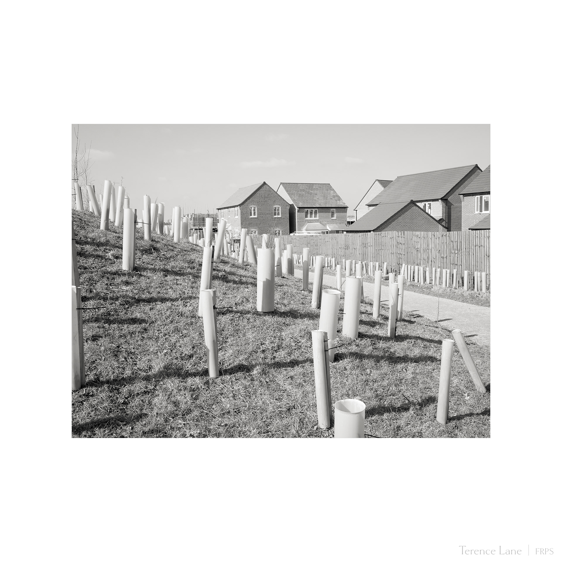
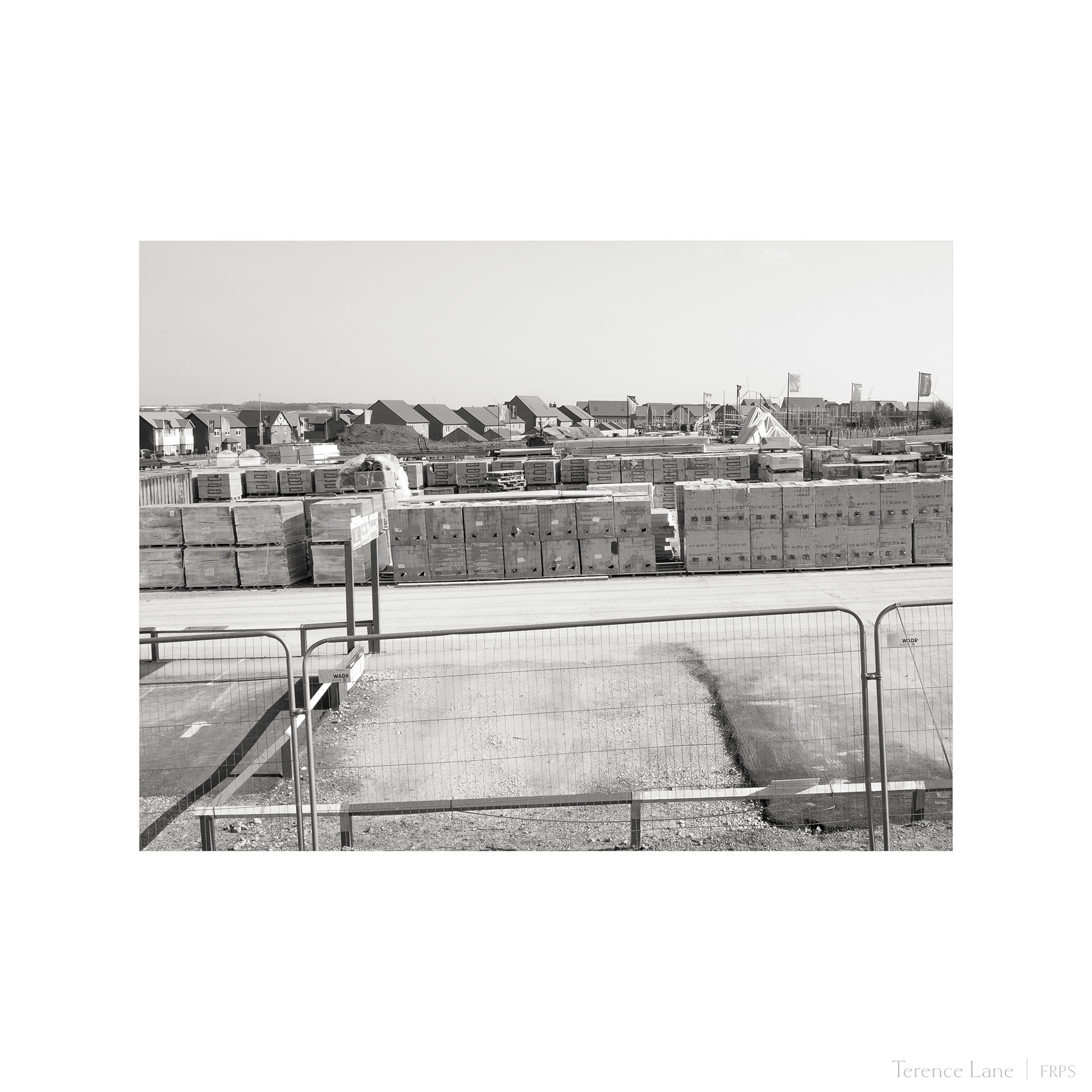
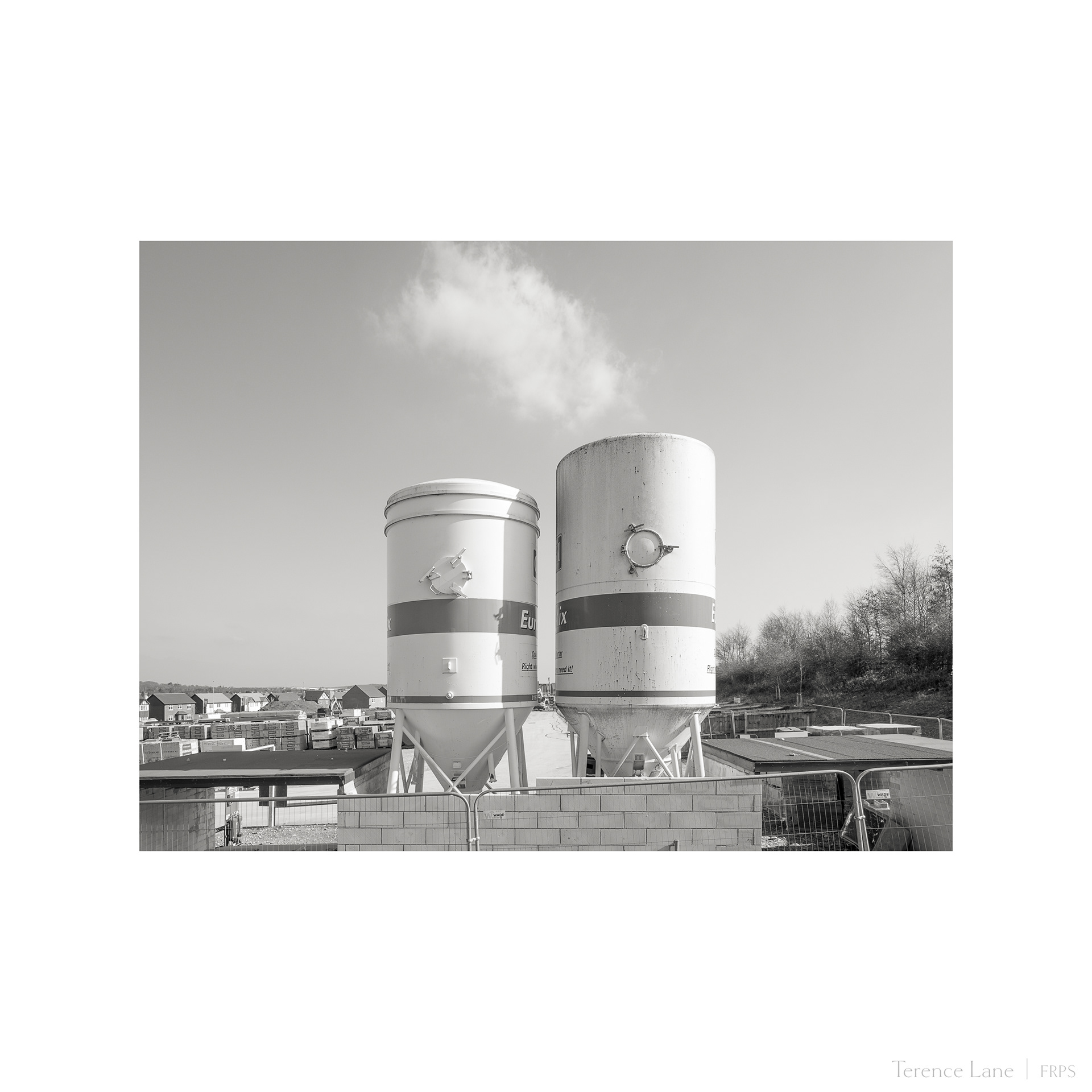
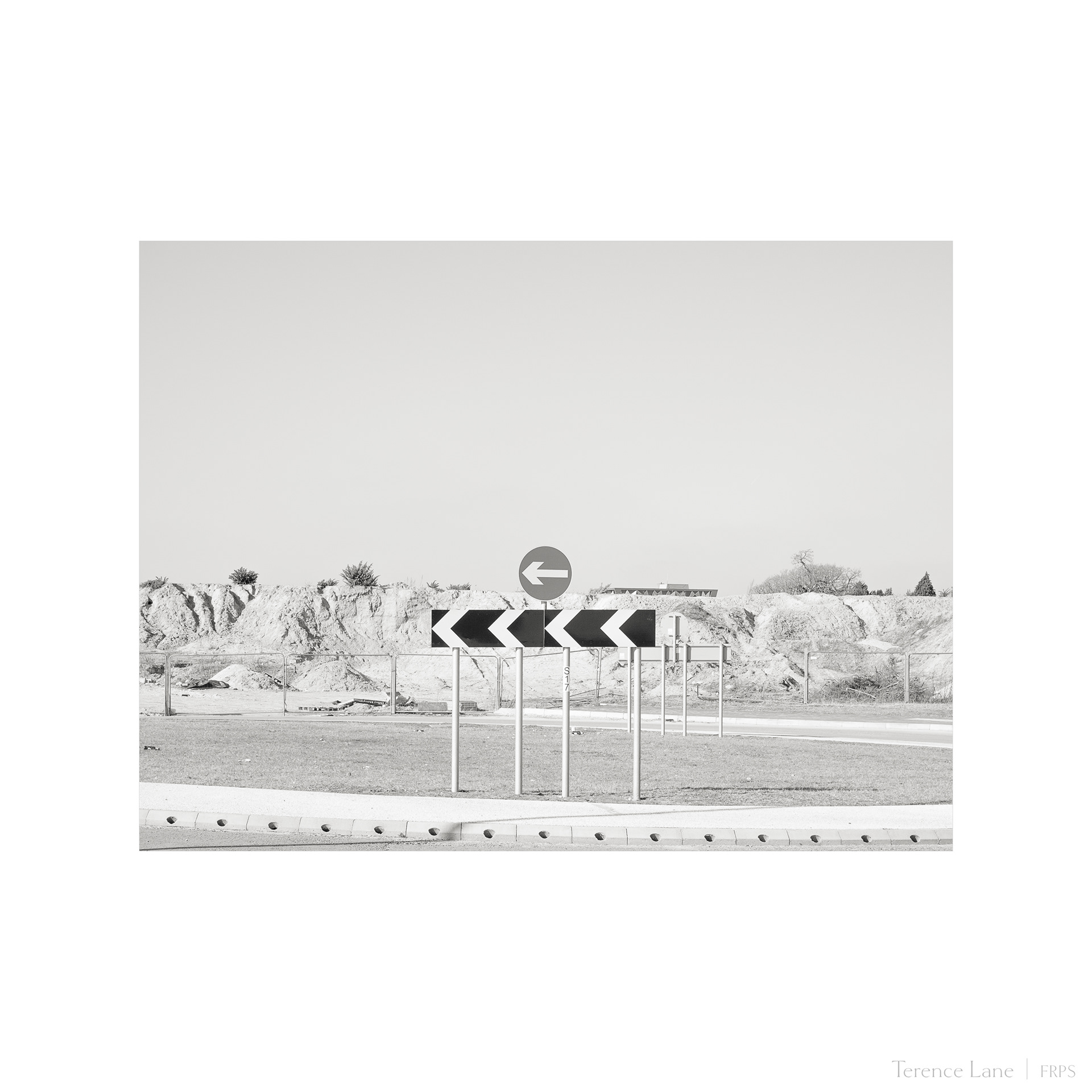
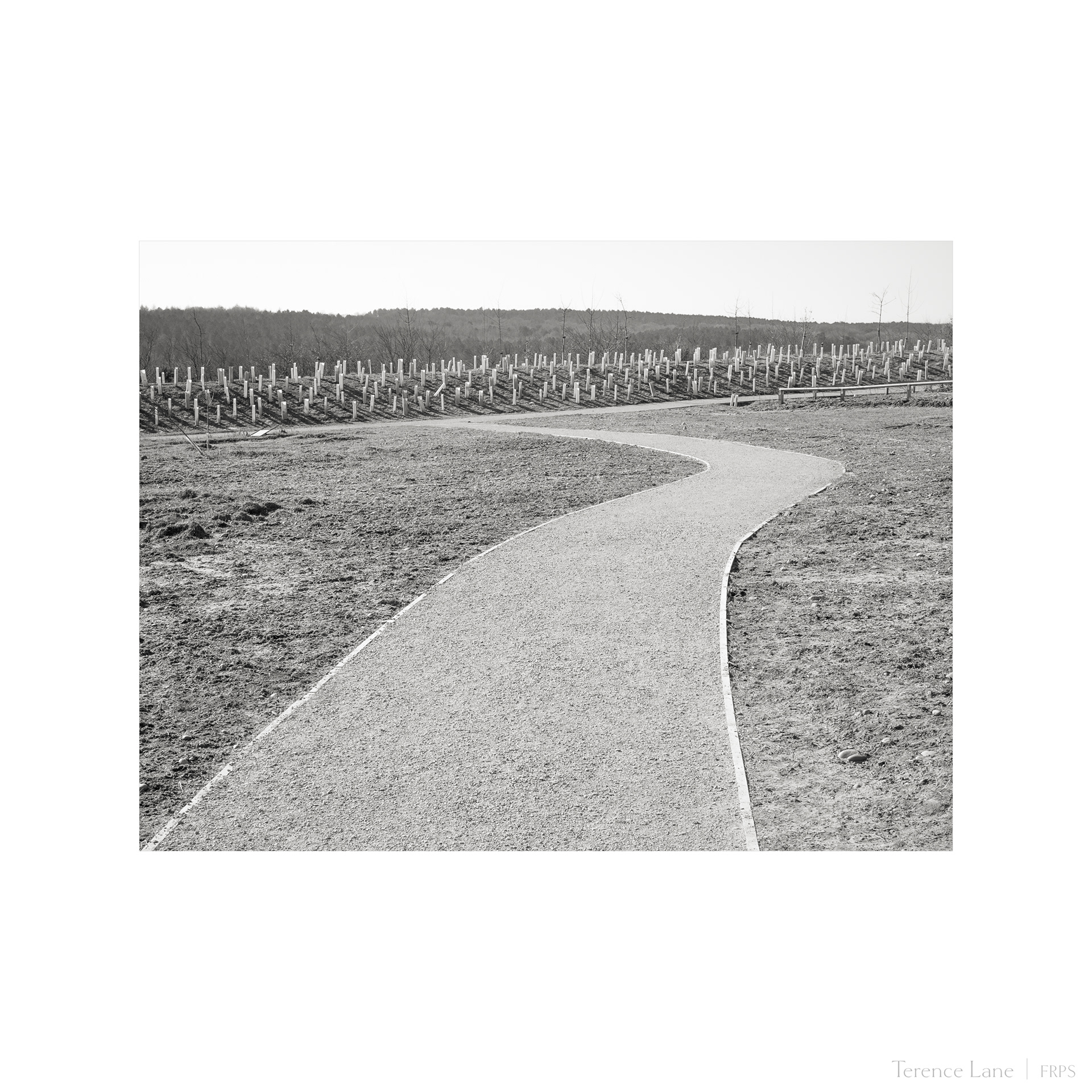
This project, OutForest, is running alongside my other related long-term work 'Sciryuda' and is being undertaken in and around the managed and what I perceive to be ‘at-risk’ Sherwood Forest in Nottinghamshire. Generally, the OutForest project is about a developing situation at the edge of the old forest, with urban development making what appears at first to be subtle changes to the forest boundary. The boundary, parts of which are still marked by ancient trees on ancient tracks is no longer as once defined, but is being absorbed and effectively lost as urban developments are built across it. A degree of consideration and protection due to the obvious heritage is applied but the creeping evolution of the landscape means that sometimes we don't know what we had until it is gone, a cliché yes, but valid nonetheless. As we then rely on memory, we might consider that the 'language of the land' is changing.
Like most others I am concerned about the environment, but I am not an activist as such and there are difficult and complex problems to grapple with, so this work should be seen as 'revelatory' rather than 'accusatory'. That said, perhaps we all need to pay attention and take note.
This is how I see things, and it is not always about capturing images that show or identify agreed facts. A stage of transition, things arrive, things are obscured or disappear and despite this work being in the one sense a historical document, partly about the establishment of new communities, there are also ironies as new situations and new horizons evolve; our new landscape develops. For some, memories develop, change or take on new meanings. Some things are forgotten forever and now the 'Lookout' is removed from the edge and is now in the midst, looking in and around. Absorbed, it no longer reveals a boundary, without moving the external factors mean that it now sits within a created urban environment.
The narrative will likely develop, but I invite you to look around and consider how you feel about the expansion, the creeping boundary of necessary development – and then think about the compromises being made, what has been gained or lost in return and whether a balance is really being maintained.
Work from this project was submitted to the Royal Photographic Society in 2022 for which I gained my RPS Fellowship (FRPS). See here.